2014-12-21 Rotwand Wall
South of Boulder, on Eldorado Springs Drive, we turned left onto Boulder County Road 67, which is about 0.8 miles after the Doudy Draw Trailhead. There is a sign for the "Eldorado Mountain Yoga Ashram" here. The road ends at a gate with a trailhead sign. The only parking available is along the east side of the road before the gate, and it fills quickly on weekends. The Spring Brook Trail starts here, and connects with the Fowler Trail, which we took to Eldorado Canyon State Park. A pdf of the trails in this area is here.
On entering the park along the Fowler Trail, the views of the rock walls on the north side of the canyon are impressive. A map of the rock walls is here.
In the park, the Fowler Trail intersects the Rattlesnake Gulch Trail, then terminates at a parking area off Eldorado Springs Drive. From there, we hiked west along the road, staying right at two intersections before reaching the trailhead for the Eldorado Canyon Trail.

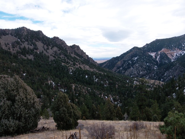
2014-12-21 Eldorado Canyon from Eldorado Canyon Trail
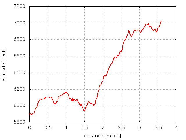
The Eldorado Canyon Trail climbs steeply as we followed it to an elevation of about 7060 feet, where there's a view of the Walker Ranch area. The trail continues to Walker Ranch, but considering the time, we turned around there. Our GPS ran out of batteries about 15 minutes before reaching the high point at elevation of about 6980 feet.
We returned the way we came. The distance traveled was about 4.0 miles one way, with an elevation difference from low (5900 ft) to high (7000 ft) of about 1100 feet.

2014-12-21 Elevation profile: Eldorado Canyon Trail
© 2012-2014 Stefan Hollos and Richard Hollos
Tweet

blog comments powered by Disqus