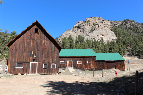
2015-04-06 McGraw Ranch Barn
Parking at McGraw Ranch, off the gravel road, we started at about 11:00, heading west up Cow Creek, then right onto the Bridal Veil Falls Trail. We took video of Bridal Veil Falls, as well as some creek views below and above the falls.

2015-04-06 Bridal Veil Falls Trail
Ascending the falls on the west side, we crossed over the creek, then scrambled up a rock notch to an overlook northeast of the falls. Continuing northeast up a snow-free southwest facing slope, we hiked through forest, then meadow interspersed with aspen. There we were able to catch glimpses of the prominent rock outcrop - Point 9776 - as well as Sheep Mountain.

2015-04-06 Bridal Veil Falls
Heading up Sheep Mtn, we began ascending its northwest facing slope, where patches of snow began appearing. The snow turned out to be mostly hard enough to support our weight. The Sheep Mtn summit is nondescript - not easy to find - but Stefan's excellent memory took us directly there, reaching it at 14:21. We found no summit register, only a cairn in a forest with patches of snow, and no view.
From the summit, we headed east, and with the slope facing slightly south, the snow disappeared. It was fairly easy trackless terrain, with some thick spots, but the Sheep Mtn east ridge is long and complex, making me glad we had the GPS, keeping us on an easterly course to intercept the North Boundary Trail.
On the trail, we headed south, back to McGraw Ranch, reaching it at 16:03. At the ranch we had a very late lunch on a picnic table next to the main building.
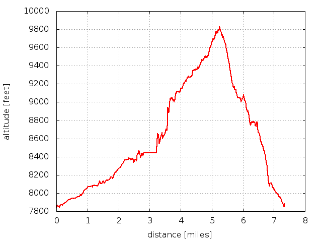
Min/max altitude: 7894/9831 ft
Min/max difference: 1937 ft
Distance traveled: 7.3 miles

2015-01-25 Elevation profile: Sheep Mtn Loop
| Place Name | Elev [ft] | Accuracy [ft] | Position (lat,lon) |
|---|---|---|---|
| Picnic table near Cow Creek parking | 7894 | 23 | 40.43143,-105.50128 |
| Sheep Mtn summit | 9831 | 30 | 40.43767,-105.52844 |
© 2012-2015 Stefan Hollos and Richard Hollos
Tweet

blog comments powered by Disqus