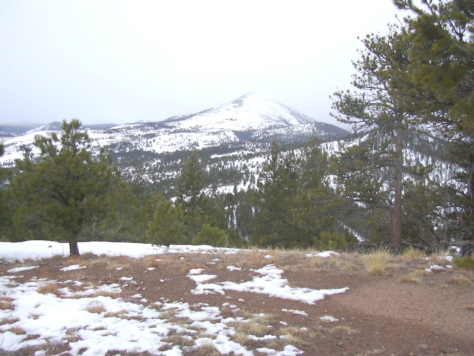
Arkansas Mountain (7,710 ft) from Betasso Preserve, 01/05/2008
Parking at the Bummer's Rock Trailhead because the Betasso West Trailhead road was too slick with slush and snow to ascend, we started hiking at 11:00. From the Betasso West Trailhead, we headed north, beginning the Canyon Loop Trail in a clockwise direction.
Hiking 0.88 miles to where the trail turns sharply to the right (east), we turned off the trail to the left. Following an old road north until it ended at a knob, we then continued northwest on an old trail until it crossed a drainage. This trail was covered with several inches of snow, and the going was slow. From the drainage we ascended northwest up the ridge of Knob 7410, where the snow was only patchy, but got deep in places before we topped out.
We reached the top of Knob 7410 at 12:05, where the odometer showed 1.87 miles. The summit rock was partially covered with snow, and we didn't see a summit register. The weather was getting colder, and wanting to get to Arkansas Mountain, we soon headed west.
Between Knob 7410 and Arkansas Mountain, there were several inches of snow on the ground, and it slowed us down considerably. We reached the summit of Arkansas Mountain at 12:33, where the odometer showed 2.52 miles. There is nothing to mark the summit, but the remnants of an old campfire. From the summit, there is a nice view of Sugarloaf Mountain to the west.

Sugarloaf Mountain from Arkansas Mountain summit, 01/05/08
Because it was drizzling on the summit of Arkansas Mountain, we soon began our descent. Since the snow was deep, going back the way we came was not an enticing prospect, and heading down the south ridge didn't seem like a good idea since we had seen a number of houses on it when we were ascending. We discovered a trail leading off the summit to the west. A Boulder County sign near the summit said this trail was the only access to this point.
Following the trail leading off Arkansas Mountain, we headed west, then southwest. The trail reached a dirt road which we followed through a neighborhood of mountain homes, and finally got to Sugarloaf Road. The sign on Sugarloaf Road said the road we were hiking on was Mountain Meadows.
We hiked down Sugarloaf Road for a couple miles, then turned left onto Betasso Road and back to the parking place at Bummers Rock Trailhead.
Getting back to the parking place at 13:59, the odometer showed 7.26 miles. The total trip time was 3 hours, and the total elevation gain is given in the table below.
| Segment | Gain [ft] |
|---|---|
| Drainage to Knob 7410 | 7410-6400 = 1010 |
| Saddle to Arkansas Mtn | 7710-7300 = 410 |
| Road intersection to parking | 200 |
| Total | 1620 |
| Place name | Elev [ft] | Accuracy [ft] | Lat/Lon |
|---|---|---|---|
| Parking at Bummers Rock Trailhead | 6537 | 18 | 40.01371/105.34357 |
| Trail leave point | 6557 | 18 | 40.02363/105.34737 |
| Knob 7410 | 7429 | 19 | 40.02906/105.35850 |
| Arkansas Mountain summit | 7738 | 14 | 40.02982/105.36927 |
| Sugarloaf Road/Mountain Meadows intersection | 7277 | 15 | 40.01828/105.38786 |
| Number | Description | Lat/Lon |
|---|---|---|
| 1 | Arkansas Mtn summit | 40.0298/105.3695 |
| 2 | Knob 7410 | 40.0290/105.3586 |