Bear Lake from Adams Tunnel East Portal, 10/13/2007
We started hiking at 8:41 from the parking area of the Adams Tunnel East Portal, off CO 66, near the YMCA livery, southwest of Estes Park. Walking over the spillway of the Adams Tunnel East Portal, we headed northwest on a trail up the hillside. We followed this trail northwest until we got to the Glacier Basin Campground. From there we took the entrance road of the campground to Bear Lake Road, then crossed the road over to the Bear Lake Shuttle Bus Parking Area.
At 9:31, we left the Shuttle Bus Parking Area, and started up the Bierstadt Moraine Trail. The sign at the parking area said 3.6 miles to Bear Lake. At Bierstadt Lake, the sign showed we had walked 1.6 miles from the parking area.
We continued on the Bierstadt Moraine Trail to Bear Lake. From Bear Lake, we took the trail down to Alberta Falls, then took the Glacier Creek Trail toward Glacier Basin.
At the intersection of the East Glacier Creek Trail and the Boulder Brook Trail, the sign says 2.6 miles to Bear Lake and 3.5 miles to the YMCA livery.
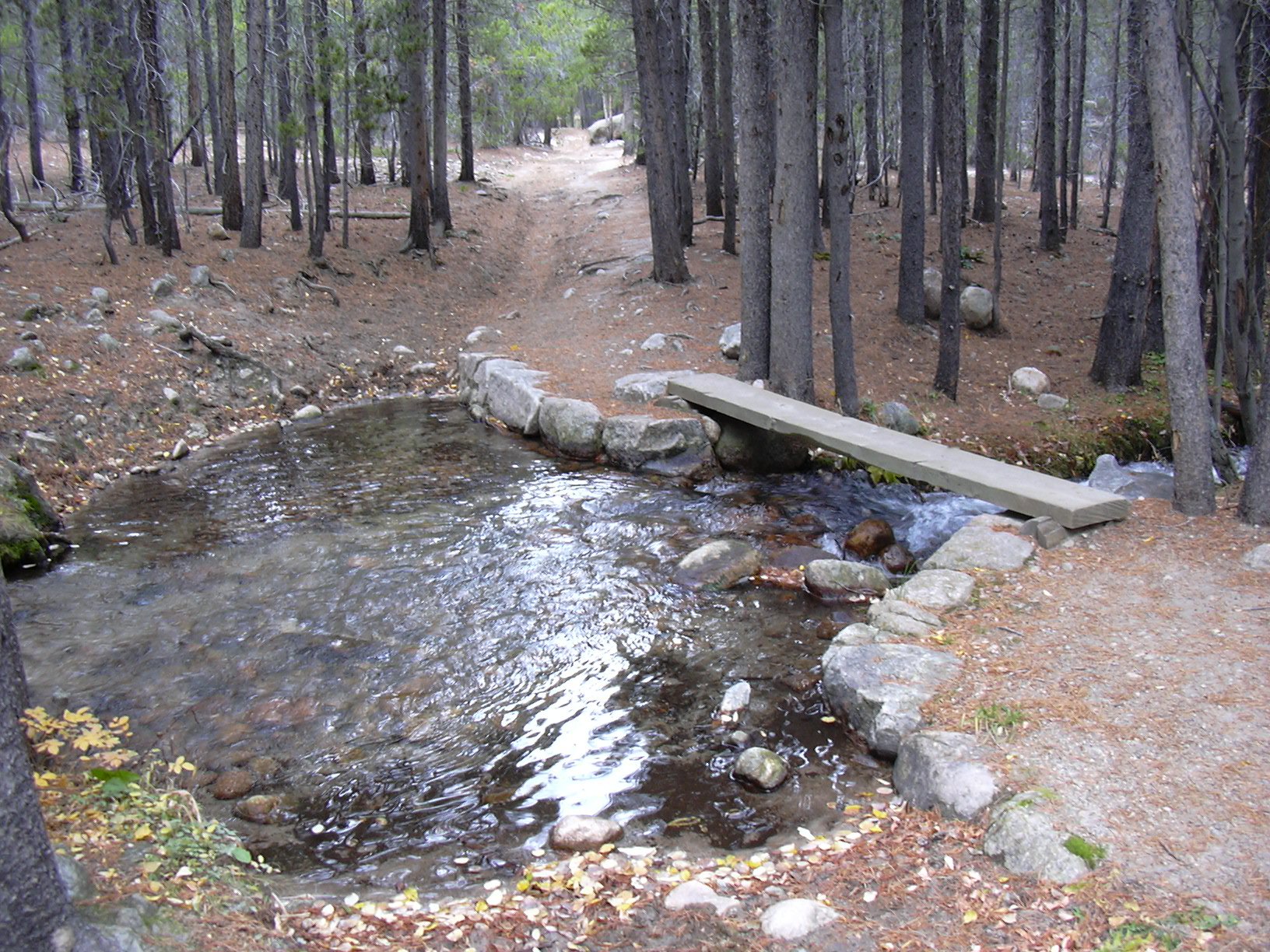
We continued on the East Glacier Creek Trail to the Wind River Trail, and turned right on that. Hiking down the Wind River Trail, we stopped for lunch next to the Wind River, where some gray jays joined us. Finally, we took the Wind River Trail back to our parking place at the East Portal, finishing the hike at 13:43.
This hike took 5 hours, with a total length of about 12 miles. The elevation difference from the lowest to highest point was 1533 feet. There was also about a 200 foot climb from the Glacier Creek drainage to the Wind River. About 95% of this hike had very few people on it. The only crowded section was from Bear Lake to the Alberta Falls Trail.
| Place name | Elev [ft] | Accuracy [ft] | Lat/Lon |
|---|---|---|---|
| Parking near Adams Tunnel East Portal | 8272 | 16 | 40.32818/105.57573 |
| High point of hike on Bierstadt Moraine Trail | 9805 | 15 | 40.31886/105.64212 |
| East Glacier Creek Tr. and Boulder Brook Tr. intersection | 8909 | 19 | 40.31673/105.61578 |