Bright Extension Trail/North St. Vrain Creek/Coulson Gulch Loop, 05/17/2008

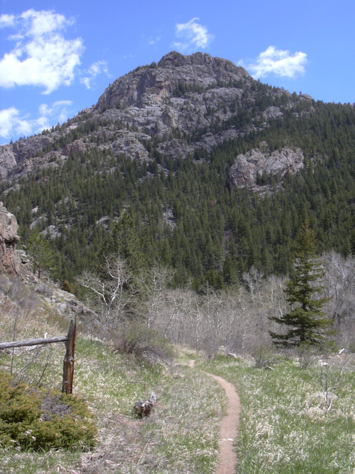
South Sheep Mtn from North Saint Vrain Creek, 05/17/08

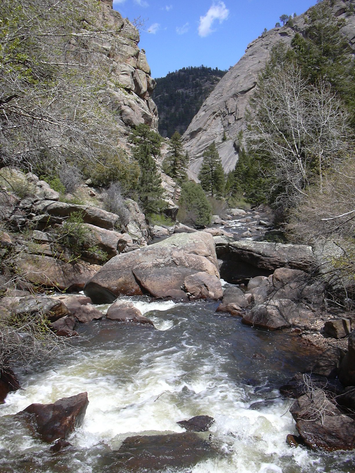
North Saint Vrain Creek and Canyon, looking east, 05/17/08
This is a 12.9 mile loop, that starts at the Coulson Gulch Trailhead, goes west on Johnny Park Road, south on the Bright Extension Trail, east along the North Saint Vrain Creek, then north on the Coulson Gulch Trail. There is about a 2 mile section of this loop, starting soon after reaching the N St Vrain Creek and going east along the creek, that is trackless, and at times very rugged.
From just below the Coulson Gulch Trailhead, where the closed gate prevented parking at the trailhead itself, we started hiking at about 9:22, going west on Johnny Park Road, which is a 4WD forest road.
At 10:32, with the odometer showing 3.27 miles, we turned left onto the Bright Extension Trail, where a fiberglass marker says "Trail 327". At least the first 2/3 of this trail is well maintained. We came upon a spring, with cold water coming out of a pipe, at 3.9 miles.
There are some very nice views along the Bright Extension Trail. First, there was a great view of North and South Sheep Mountain together, then, just before the trail begins its steep descent to the creek, there was a spectacular view of Peak 8700 (Deer Ridge, east summit) to the west with Copeland Mtn behind it. There were also perfect views of Taylor Mountain and Big John Mountain as we descended.
Descending to the N St Vrain Creek, the Bright Extension Trail fades out near the end, but there is a trail marker at the creek that says the trail is #827, which contradicts the "327" we saw at the start. We reached the creek at 12:05, where the odometer showed 5.46 miles. There is no bridge across the creek here, but on the other side, the Bright Trail begins, which heads up Taylor Mountain.
Hiking east along the creek, there is no trail, and the terrain becomes very rugged at places. At one point, the bank of the creek vanished, replaced by a rock wall, and we had to climb up and along a steep slope for awhile before we could descend back down to the creek.
We eventually came upon some fisherman, who asked if we had any matches, and Stefan gave them his. They said they'd been coming there to fish for 10 years, and had only seen us, and one other group of people, in that time.
Continuing along the creek, we reached the intersection of the N Sheep Mtn Trail and the N St Vrain Creek Trail where the odometer showed 8.27 miles.
Just before the Coulson Gulch Trail, we stopped for lunch. Afterward we continued to the intersection of the Coulson Gulch Trail and the N St Vrain Creek Trail, getting there at 14:59, where the odometer showed 9.93 miles.
Hiking north on the Coulson Gulch Trail, we returned to our parking place at 16:02, where the odometer showed 12.9 miles.
This hike had spectacular scenery. The N St Vrain Canyon that we hiked through, is the Grand Canyon of Boulder County.
This hike lasted 6 hours, and 40 minutes. The elevation gain was about 1700 feet over a distance of 12.9 miles.
| Place name | Elev [ft] | Accuracy [ft] | Lat/Lon |
|---|---|---|---|
| Parking just below Coulson Gulch Trailhead | 7647 | 8 | 40.25081/105.41076 |
| Int. of Johnny Park Rd and Bright Ext. Trail | 8364 | 16 | 40.23481/105.44779 |
| Spring on Bright Extension Trail | 8460 | 21 | 40.22900/105.44939 |
| Int of Bright Ext. Trail and N St Vrain Creek | 7373 | 46 | 40.21599/105.45714 |
| Int of N Sheep Mtn Trl and N St Vrain Crk Trail | 7112 | 20 | 40.21280/105.43450 |
| Int of Coulson Gulch Trail and N St Vrain Creek | 6782 | 24 | 40.21563/105.41312 |