Bear Peak, South Boulder Peak, Green Mountain, loop from Chautauqua, 11/17/2007
We started hiking at 9:34 from the Chautauqua parking area. Going south on the Bluebell Road Trail, then the Mesa Trail, we hiked past NCAR, then turned right onto the Fern Canyon Trail. We took the Fern Canyon Trail to the summit of Bear Peak, getting there at 11:30, where the odometer showed 4.33 miles.
From the summit of Bear Peak, we took the Bear Peak Trail south, getting to the summit of South Boulder Peak at 12:01. We then retraced our footsteps back to Bear Peak, where we got on the Bear Peak West Ridge Trail, taking it 1.8 miles to the Green Bear saddle.
From the Green Bear saddle, we got on the Green Bear Trail, heading 0.8 miles up Green Mountain to the Greenman Trail. We turned right onto the Greenman Trail, heading 0.2 miles to the summit of Green Mountain, getting there at 14:15.
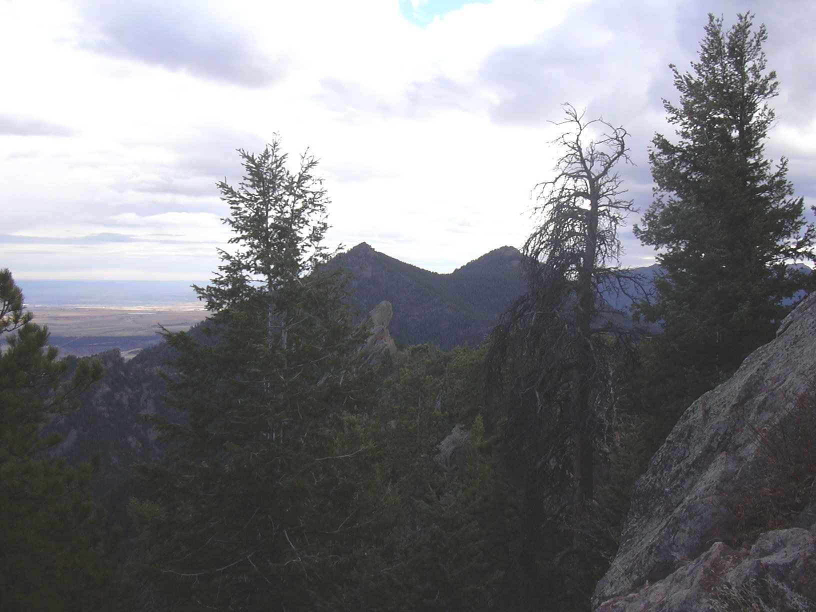
Bear Peak and S. Boulder Peak from Green Mtn. summit, 11/17/07
Descending Green Mountain on the Greenman Trail, we took it down to the Saddle Rock Trail, then turned right onto the Amphitheater Trail, taking it to the Baseline Trail, then took the Baseline Trail back to Chautauqua. We returned to our parking place at 15:50, where the odometer showed 11.4 miles.
This trip took 6 hours and 16 minutes. The total elevation gain for this hike is 4342 feet, broken down as follows:
| Segment | Gain [ft] |
|---|---|
| Chautauqua to Bear Peak | 2884 |
| Saddle to S. Boulder Pk. | 331 |
| Saddle back to Bear Pk. | 221 |
| Saddle to Green Mtn. | 906 |
| Total | 4342 |
| Place name | Elev [ft] | Accuracy [ft] | Lat/Lon |
|---|---|---|---|
| Chautauqua parking area | 5684 | 18 | 39.99950/105.28259 |
| Bear Peak summit | 8458 | 16 | 39.96024/105.29517 |
| South Boulder Peak summit | 8568 | 17 | 39.95354/105.29945 |
| Bear Peak/South Boulder Peak saddle | 8237 | 26 | 39.95660/105.29735 |
| Bear Peak/Green Mountain saddle | 7241 | 17 | 39.97423/105.30785 |
| Green Mountain summit | 8147 | 20 | 39.98216/105.30154 |