Coffintop Mountain (8,049 ft) from Hall Ranch, 11/25/2007
From the Hall Ranch parking area there is a great view of Coffintop Mountain.
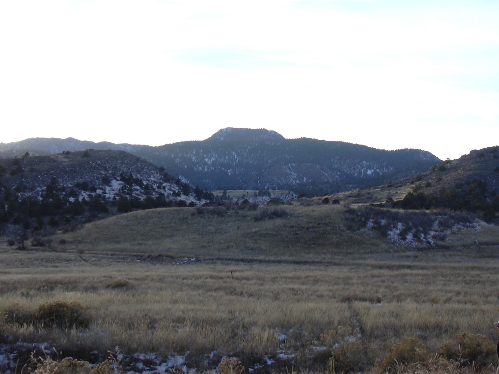
Coffintop Mountain (8049 ft) from Hall Ranch parking area, 11/25/07
We started hiking from the Hall Ranch parking area at 9:33, where the elevation is 5500 feet. Taking the Nighthawk Trail, we hiked for about an hour and a half, then turned left, leaving the trail in a meadow where there is a great view of Longs Peak. The gps odometer showed 4.35 miles here. This is somewhere between point 1 and point 2 in the point list below. There is a faint double-track trail going through this meadow, toward the direction of Coffintop, which we followed.
After about a half mile, we crossed over a barbed-wire fence that goes over the double-track near point 2, then soon left the double-track, heading through the forest to point 3 (Point 7488).
Passing Point 7488 on our right, we headed toward the summit. We reached Coffintop's summit area at 12:27.
Coffintop Mountain obviously gets its name from the shape of its summit plateau, which runs north-south. The two ends of the summit plateau have rock knobs, each of which appear to be of equal height. We couldn't tell for sure which was the summit so we visited them both. Topozone shows the summit at the north knob, while the south knob contains the summit register from the Colorado Mountain Club (CMC).
Measuring the height of the two possible summits with our GPS
(Garmin eTrex
Legend)
, we get for the north knob (Topozone summit), an elevation of 8025 feet
(accuracy 16 ft), and for the south knob (CMC summit) 8036 feet (accuracy 16
ft). So with a difference of 10 feet and an accuracy of 16 feet, we couldn't
know which is higher using our GPS.
On the north knob, the GPS odometer showed 6.26 miles, then at the south knob, the odometer showed 6.4 miles.
The sun had been shining all day, but as we got near the summit, a large cloud covered the sun. It was cold and snowy on the summit plateau, and we stayed only long enough to visit the two possible summits, and sign the register on the south knob. The most impressive view from either summit is that of Button Rock Reservoir (also known as Ralph Price Reservoir). It looked dark and cold today.
We soon headed down the summit the way we had come. As we descended, the cloud passed, and it became sunny again.
We pretty much retraced our steps back, returning to the Nighthawk Trail at 14:27. We got back to our parking place at 15:47, where the gps odometer showed 12.4 miles.
This hike took 6 hours and 14 minutes. The elevation difference from lowest point (Hall Ranch Parking area) to highest point (Coffintop Mtn summit) was 2,536 feet.
Topomap of Coffintop Mountain Area
| Place name | Elev [ft] | Accuracy [ft] | Lat/Lon |
|---|---|---|---|
| Hall Ranch Parking area | 5500 | 17 | 40.21162/105.28900 |
| Leave trail position | 6754 | 16 | 40.21558/105.33204 |
| North knob (summit according to Topozone) | 8025 | 16 | 40.19897/105.35629 |
| South knob (summit according to CMC) | 8036 | 16 | 40.19777/105.35639 |
| Number | Description | Lat/Lon |
|---|---|---|
| 1 | Knob 6735 | 40.2126/105.3272 |
| 2 | Point on Road | 40.2135/105.3368 |
| 3 | Point 7488 | 40.2065/105.3492 |
| 4 | Coffintop summit (according to Topozone) | 40.1987/105.3560 |