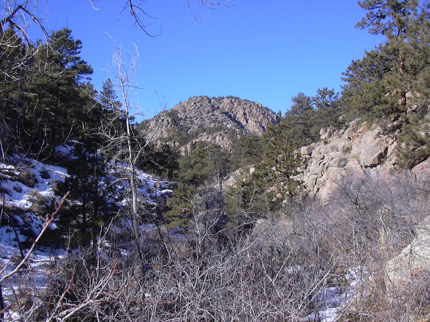
Deadman Gulch, 01/26/2008
From Lyons, going east on Hwy 7, we parked just past the first picnic ground after the national forest sign, across the road from Deadman Gulch. We started hiking at 10:43, going up Deadman Gulch, following an old faint trail.

Beginning of Deadman Gulch, 01/26/08
Ascending Deadman Gulch, we headed northwest for about 1 mile. There was lots of ice in the gulch from the frozen-over creek, and the going was slow. We saw large mountain lion tracks in the snow, and a small set of tracks that looked like coyote.
As the creek turned left (west), we headed north, up a sunny south facing slope to a rocky ridge. On the ridge, we headed northwest, slowly making our way up very complex eroded granite terrain, when it finally gave way to meadow and forest, and we continued northwest to an unnamed knob at an elevation of 6752 feet. At this point our gps odometer showed 1.24 miles.
From the 1st knob, we headed northwest, reaching an old forest road, which we followed north for about 1/10th mile before turning left and ascending a 2nd knob, getting there at 12:19. This knob was the highpoint of the hike at 6863 feet. The odometer showed 1.54 miles here.
From the 2nd knob we headed northeast, then southeast, as our path formed an arc, and we made our way to Knob 6735.
The top of Knob 6735 is very distinctive. From the clearing to its northwest, we could see the large granite rock that forms its summit, with a tree growing on the top of that. Scurrying to the top of its summit rock, we find that its summit is actually a granite bowl, where on one side someone had built up a small wind break with rocks, and on the other side is the tree. It was extremely windy on this summit, and we soon descended from the summit rock. The odometer here showed 2.41 miles.
From Knob 6735, we headed southeast to point 3 on the point list then stopped for lunch in a sunny spot, before heading back to the parking place. We finished our hike at 14:11, where the odometer showed 3.85 miles. The elevation difference from lowest to highest point was 1,233 feet, and the total hiking time was 3 hours, 24 minutes.
This is a wild, rugged, and pristine place, if you go there, please don't leave anything but tracks.
| Place name | Elev [ft] | Accuracy [ft] | Lat/Lon |
|---|---|---|---|
| Parking off Hwy 7 at Deadman Gulch | 5630 | 20 | 40.20235/105.32030 |
| 1st knob | 6752 | 26 | 40.21124/105.33644 |
| 2nd knob | 6863 | 14 | 40.21274/105.33784 |
| Knob 6735 | 6795 | 23 | 40.21225/105.32736 |
| Number | Description | Lat/Lon |
|---|---|---|
| 1 | Point on old road | 40.2124/105.3370 |
| 2 | Knob 6735 | 40.2126/105.3272 |
| 3 | Ridge point | 40.2062/105.3230 |