Gross Peak (7788'), Point 7675, Castle Rock B (7620'), The Sandcastle (7675'), and Langridge Dyke (7408'), 03/15/2008

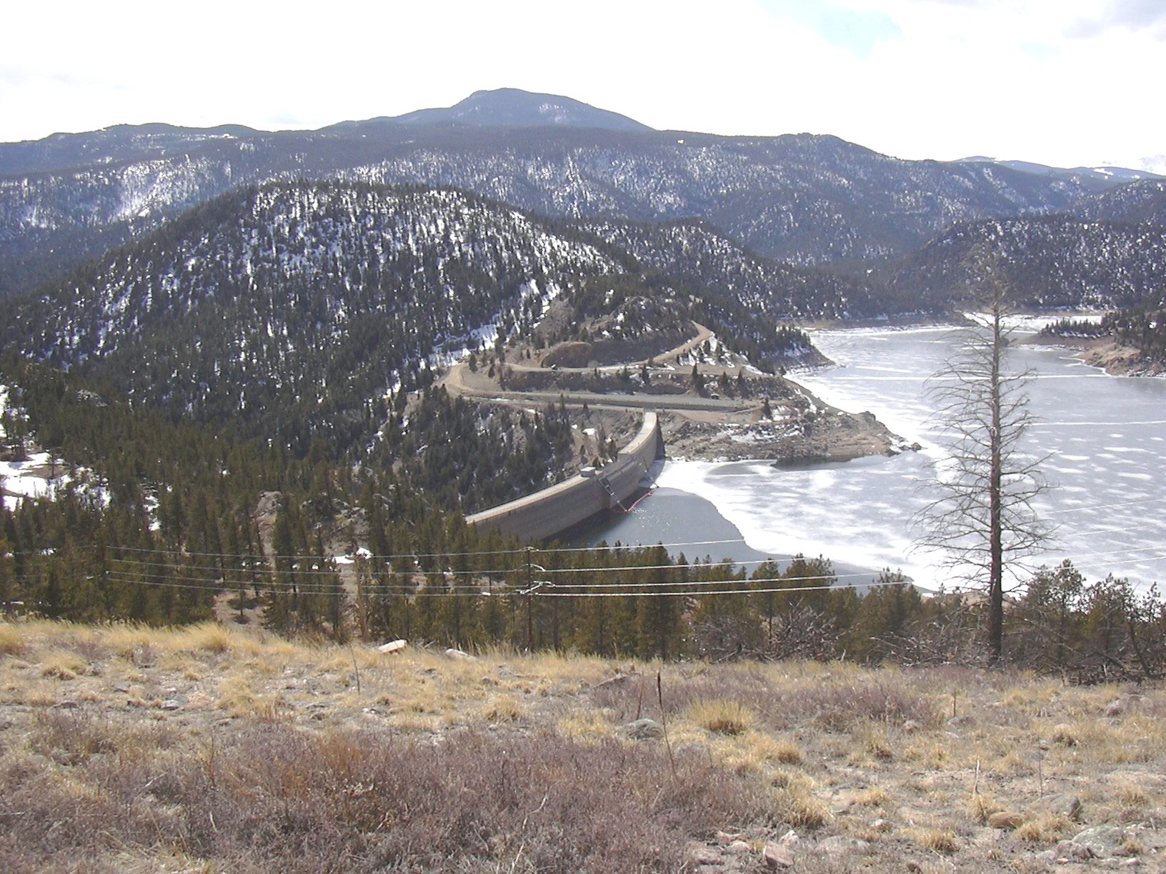
Gross Dam and Gross Peak from The Sandcastle, 03/15/08

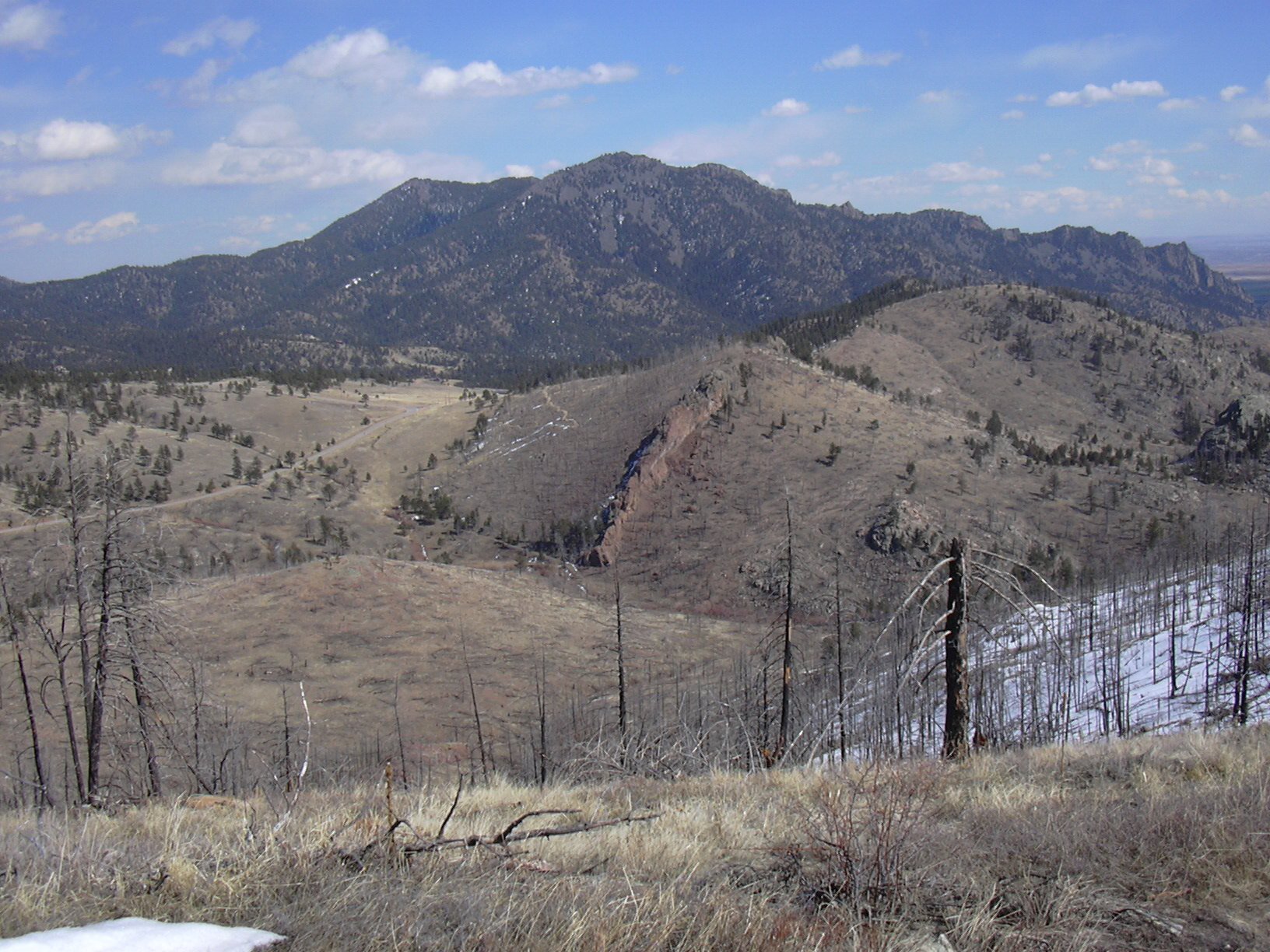
Langridge Dyke from The Sandcastle, 03/15/08

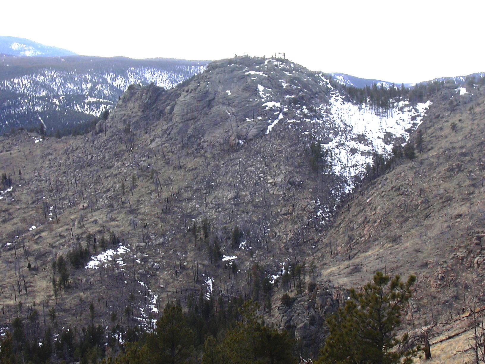
Castle Rock from Langridge Dyke, 03/15/08
4 of these peaks are Roaches. Of these 4, the only ranked Roach is Gross Peak, at #70. The peaks were done from 3 different starting points.
To do Gross Peak, we parked at the last intersection on Gross Dam Road, where the left branch goes to Osprey Point, and the right branch goes to Windy Point Picnic Area and the Dam.
We parked there, because we also wanted to do Point 7675 which is just northwest of the parking place. Starting our hike at 12:06, we hiked up the road toward Windy Point, then nearing the summit, we turned right and made a beeline for the top of Gross Peak.
On the summit of Gross Peak, our odometer showed 0.71 miles. We found a register there, placed by Luke Plumely on Nov 12, 2007, and not signed since then. Gross Peak summit has a dead tree laying next to it, and other trees growing nearby, so the view is not very nice. But, about 50 yards east of the summit there is a great view of Gross Reservoir, its dam, and Castle Rock.
From the summit, we headed back down to the road, and then west to Point 7675, getting there at 13:13, where the odometer showed 1.55 miles. This point offers a great view of Gross Reservoir, and Twin Sisters Peak to the northwest. From Point 7675, we hiked back to the road, then returned to the parking place at 13:36 where the odometer showed 2.24 miles.
Driving back along Gross Dam Road, we parked at the scenic overlook then started hiking southeast to Castle Rock, taking only 12 minutes to get to the top, where the odometer showed 0.35 miles. It took a little bit of scrambling to get to the top of Castle Rock. From its top, you can see Langridge Dyke, S. Boulder Peak, Eldorado Canyon, the south knob of Castle Rock, and part of the Gross Reservoir.
From Castle Rock, we headed north to The Sandcastle, getting there at 14:32, where the odometer showed 0.87 miles. The Sandcastle offers a great view of the dam, Gross Reservoir, and Langridge Dyke. From the Sandcastle, we headed back to our parking place, where the odometer showed 1.15 miles.
For our last stop, we drove to the Walker Ranch parking area, and made a quick jaunt to the top of Langridge Dyke, getting there in 8 minutes, where the odometer showed 0.35 miles. Langridge Dyke offers a great view of Castle Rock and S. Boulder Peak. Returning to our parking place, the odometer showed 0.55 miles.
This outing, consisting of 3 small hikes, covered a total distance of 4.34 miles, and elevation gain of about 1,000 feet.
| Place name | Elev [ft] | Accuracy [ft] | Lat/Lon |
|---|---|---|---|
| Parking for Gross Peak and Point 7675 | 7434 | 14 | 39.93507/105.36546 |
| Gross Peak summit | 7815 | 15 | 39.94196/105.36067 |
| Point 7675 | 7698 | 14 | 39.94083/105.37001 |
| Parking for Castle Rock and Sandcastle | 7481 | 19 | 39.94833/105.35357 |
| Castle Rock B summit | 7628 | 14 | 39.94736/105.34883 |
| The Sandcastle | 7688 | 13 | 39.95179/105.35260 |
| Walker Ranch Parking area | 7223 | 15 | 39.95123/105.33765 |
| Langridge Dyke | 7412 | 21 | 39.95132/105.34047 |
| Number | Description | Lat/Lon |
|---|---|---|
| 1 | Langridge Dyke | 39.9513/105.3403 |
| 2 | The Sandcastle (7675') | 39.9520/105.3527 |
| 3 | Castle Rock B (7620') | 39.9473/105.3491 |
| 4 | Gross Peak (7788') | 39.9420/105.3608 |
| 5 | Point 7675 | 39.9404/105.3702 |