Lee Hill from Anne U. White Trail, 03/29/2008
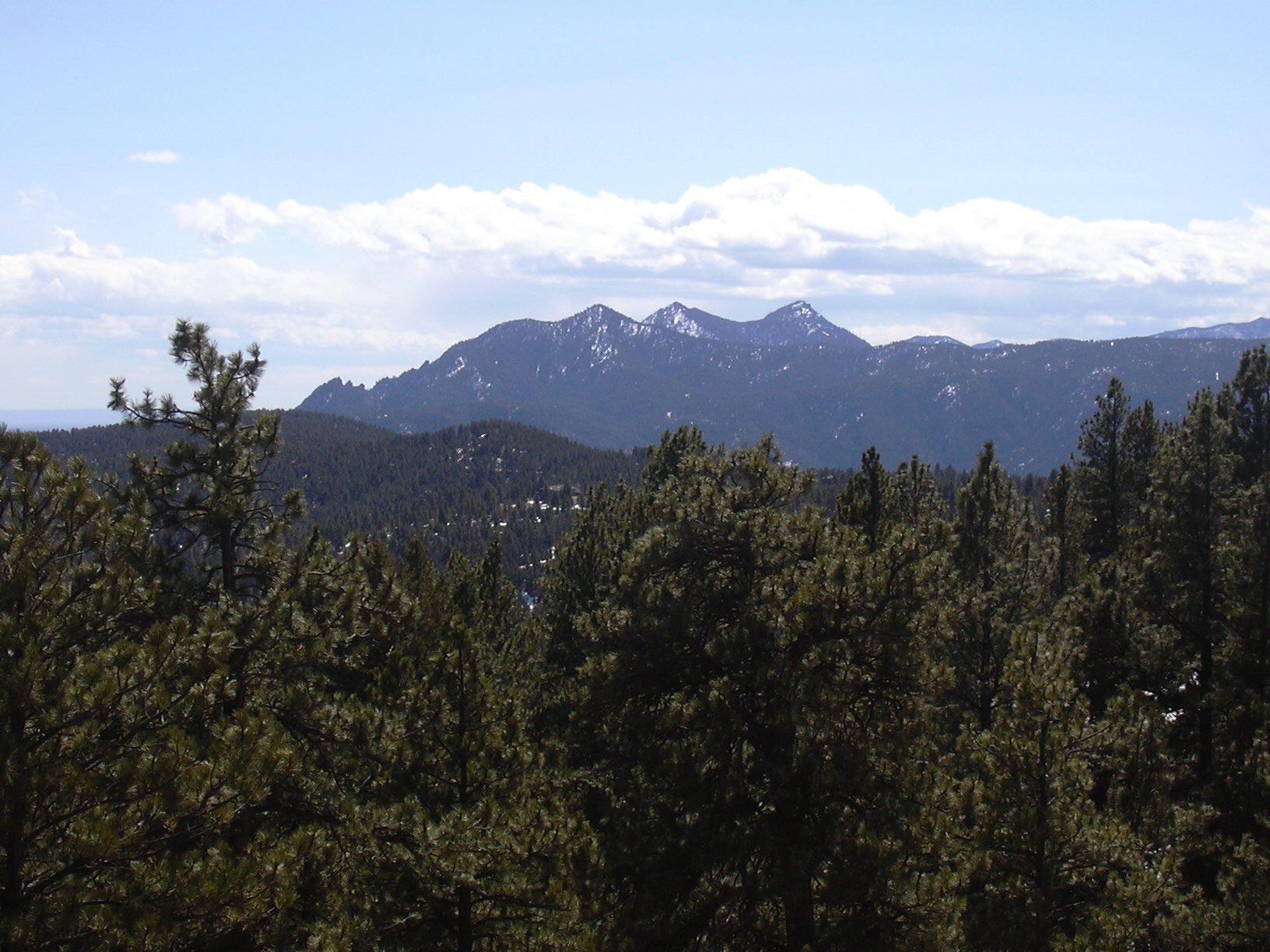
Green Mtn, Bear Pk, and S. Boulder Pk from Lee Hill, 03/29/08
Lee Hill is Roach #68. It's a Roach we hadn't done before. That's why we climbed it. It's otherwise, not very appealling to climb. It has large microwave cell phone and radio towers next to its summit. Its slopes are checkered with private homes and land. Landowners may turn attack dogs loose. If you stay on the summit too long, your head will bake like an egg in the microwave, and every molecule in your body will be jiggling to the beat of the latest pop tune.
We weren't expecting anything pleasant from the start, but it turned out to be a little nicer than I expected. On the way up, we used as a rough guide, the point list below, in reverse order.
From US Hwy 36 in north Boulder, we turned west onto Lee Hill Road, drove 1.1 miles, then turned left onto Wagon Wheel Gap Road. We drove another 1.1 miles, then turned left onto Pinto Drive. At 1/10 mile we parked at the trailhead of the Anne U. White Trail.
We started hiking up the Anne U. White Trail at 10:40. After 1.27 miles of hiking up this trail, we turned right, leaving the trail at 11:14, and heading northwest, up the south ridge of Lee Hill.
We bumped into a couple houses at around 6700 ft, where we crossed over a paved road, and continued northwest. At 2.44 miles, we ascended a knob, just south of the summit, with an elevation of 7755 ft, from which we could see the large antennas on the summit.
We reached the summit at 12:26, where the odometer showed 2.93 miles. The summit is right in the path of the microwave transmitter, so we only stayed a few seconds, as our craniums began to warm and we felt really weird. Understandably, we didn't take the time to enjoy the views.
On our descent, we returned slightly east of our incoming trail, and got back to the Anne U. White Trail where the odometer showed 5.12 miles. We returned to the parking place at 14:24, with an odometer reading of 6.0 miles.
The elevation difference from lowest (parking) to highest (Lee Hill summit) was 1,878 feet. The total trip time was 3 hrs, 44 minutes, with a lunch break included.
| Place name | Elev [ft] | Accuracy [ft] | Lat/Lon |
|---|---|---|---|
| Parking at Anne U. White Trailhead | 6041 | 16 | 40.05942/105.31963 |
| Leave trail | 6427 | 20 | 40.05930/105.33765 |
| Knob on Lee Hill | 7755 | 28 | 40.06802/105.35236 |
| Lee Hill summit | 7919 | 16 | 40.07180/105.35361 |
| Return to trail | 6328 | 24 | 40.05938/105.33092 |
| Number | Description | Lat/Lon |
|---|---|---|
| 1 | Lee Hill summit 7900' | 40.0722/105.3544 |
| 2 | 7000' point on ridge | 40.0662/105.3411 |
| 3 | Leave trail | 40.0592/105.3332 |
| 4 | Anne U. White Trailhead | 40.0595/105.3191 |