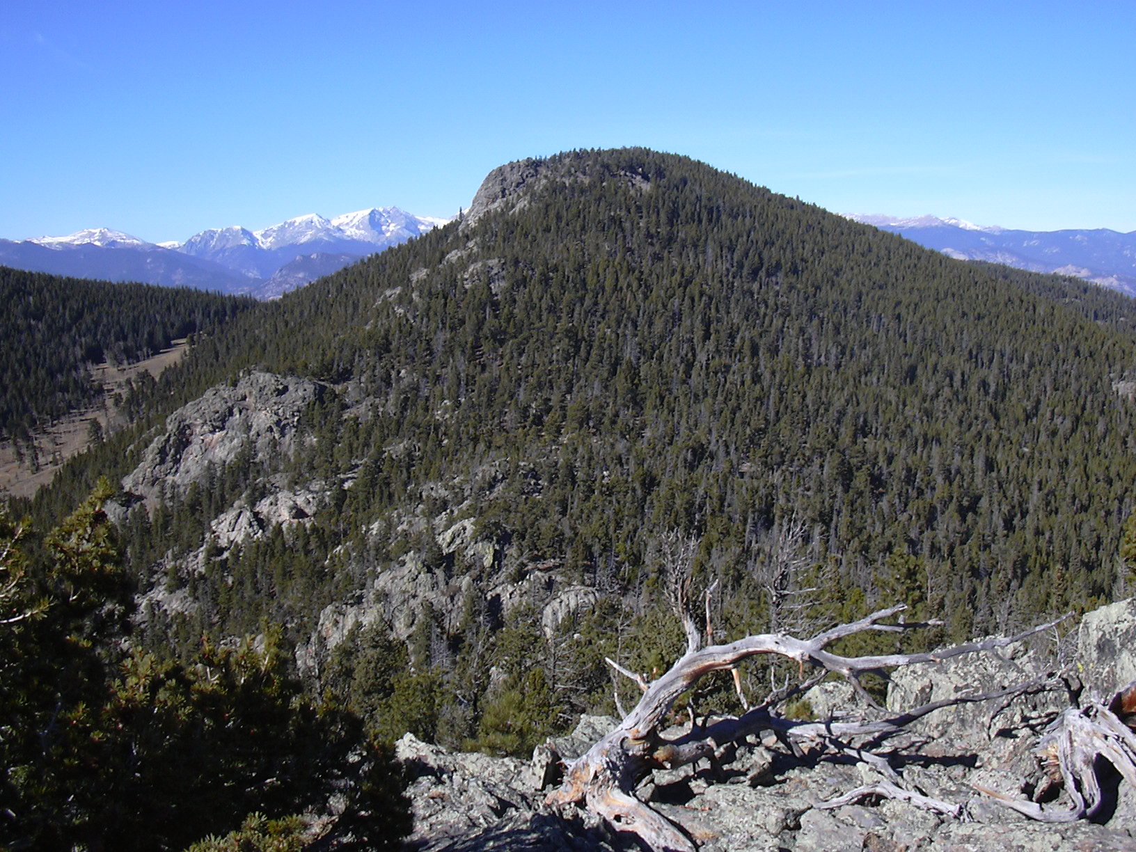
Knobs of Lion Gulch, including Lion Head (9740 feet), 11/03/2007
Getting to the Lion Gulch Trailhead off US Hwy 36 between Pinewood Springs and Estes Park, there was only one other car parked in the large parking area when we started hiking down the Lion Gulch Trail at 9:10.
Following the trail's descent down to the crossing of the Little Thompson River, and then up along Lion Gulch we left the trail at 9:26, where it turns sharply left, and we began ascending the ridge, west to Knob 8458. The terrain to Knob 8458 was almost ideal, as it would be along most of the way, sparse forest and some meadow.
We reached Knob 8458 at 10:03, where the odometer showed 1.24 miles. To our surprise, the knob even had a small rock cairn on it. We soon continued west to Knob 8726. Along the way, we happened upon a USGS marker, near a quad line, at 40.31273/105.42997.
We reached Knob 8726 at 10:23, where the odometer showed 2.11 miles. From Knob 8726, we headed southwest to Knob 8975, getting there at 11:01. The odometer showed 2.84 miles there. From there we could look down and see the large meadow where the Lion Gulch Trail goes through.
From Knob 8975, we headed northwest along its ridge, then west to Knob 8662, along the way, we happened along a dirt road, which we followed for awhile, until it turned off to the right and we had to go straight (west). We reached Knob 8862 at 11:39, where the odometer showed 3.9 miles.
From Knob 8862, we headed southwest, up the steep slope toward Lion Head (9740'). We reached the Lion Head summit at 12:25, where the odometer showed 4.69 miles. This peak actually has a summit register. We found our previous signing from May 21, 2005. This peak doesn't get a lot of visitors. There were ten signings for the year of 2005. The most recent signing was made one week earlier, Oct 27, 2007.
We started descending from Lion Head at 12:48, heading southeast toward Knob 9455, which we affectionately call "Baby Lion". We reached Baby Lion at 13:25, where the odometer showed 5.71 miles. From there we got a great picture of Lion Head.

Lion Head (9740') from Baby Lion, 11/03/07
We returned to the Lion Gulch Trail (point 7) at 14:46, where the odometer showed 7.05 miles.
Returning along the Lion Gulch Trail, we returned to our parking place at 15:57, where the odometer showed 10.2 miles.
The total trip time was 6 hours, 47 minutes. The elevation difference from lowest (bridge over Little Thompson River) to highest point (Lion Head) was 2469 feet. Considering the ups and downs on the knobs, the total elevation gain was about 3000 feet.
| Place name | Elev [ft] | Accuracy [ft] | Lat/Lon |
|---|---|---|---|
| Lion Gulch Trailhead | 7393 | 23 | 40.31501/105.40512 |
| Knob 8458 | 8503 | 18 | 40.31380/105.42109 |
| USGS marker | 8686 | 21 | 40.31273/105.42997 |
| Knob 8726 | 8750 | 19 | 40.31477/105.43351 |
| Knob 8975 | 8983 | 16 | 40.31030/105.44278 |
| Knob 8862 | 8875 | 15 | 40.31367/105.45617 |
| Lion Head summit | 9766 | 16 | 40.30952/105.46806 |
| Baby Lion (9455') | 9490 | 20 | 40.30286/105.46107 |
| Great lunch spot | 8656 | 23 | 40.30830/105.45464 |
| Low spot of hike (at bridge) | 7297 | 21 | 40.31367/105.40519 |
| Number | Description | Lat/Lon |
|---|---|---|
| 1 | Knob 8458 | 40.3139/105.4206 |
| 2 | Knob 8726 | 40.3148/105.4334 |
| 3 | Knob 8975 | 40.3102/105.4422 |
| 4 | Knob 8862 | 40.3137/105.4554 |
| 5 | Lion Head (9740') | 40.3102/105.4678 |
| 6 | Baby Lion (9455') | 40.3029/105.4597 |
| 7 | Lion Gulch Trail | 40.3081/105.4481 |