Lumpy Ridge Loop, 10/20/2007
Driving to Estes Park, then McGregor Ranch, we were surprised to find a sign at McGregor Ranch that said the Twin Owls Trailhead parking area was closed, and that there was a new parking area just down the road. It had been a year since we'd been to Lumpy Ridge.
The new Lumpy Ridge parking area and trailhead is a real improvement over the old Twin Owls parking area. The new parking area can hold lots more cars, and there are two new pit toilets at the trailhead.
Our plan was to hike a large loop around the Lumpy Ridge area, which we have actually done several times before. We would hike up the Black Canyon Trail to its junction with the Cow Creek Trail. Hike down the Cow Creek Trail to its junction with the Gem Lake Trail. Then hike to Gem Lake and back to the parking area. The maps at the trailhead showed a roundtrip distance of 11.1 miles.
Note there are two trails leaving the new Lumpy Ridge parking area. One heads northwest to the Black Canyon Trail, intersecting it near Twin Owls. The other heads northeast to the Gem Lake Trail. Hiking the loop so that you leave on one, and return on another, gives a total distance of 11.1 miles, whereas if you return on the same trail as you started, then its 11.7 miles.
We started at 9:52, hiking 0.7 miles to the Black Canyon Trail near Twin Owls. Hiking up the Black Canyon Trail, we reached its intersection with the Cow Creek Trail at 11:18. Two minutes later we reached the saddle between Dark Mountain and The Needles. At 9139 feet, the saddle is the high point of the hike, which is 1257 feet higher than the low point (parking area).
Hiking down the Cow Creek Trail, we reached the intersection of the Bridal Veil Falls Trail and Cow Creek Trail at 12:15. Then we reached the intersection of the Gem Lake Trail and Cow Creek Trail at 12:32. The sign there says "Gem Lake 2.8 miles", and "Lumpy Ridge Trailhead 4.5 miles".
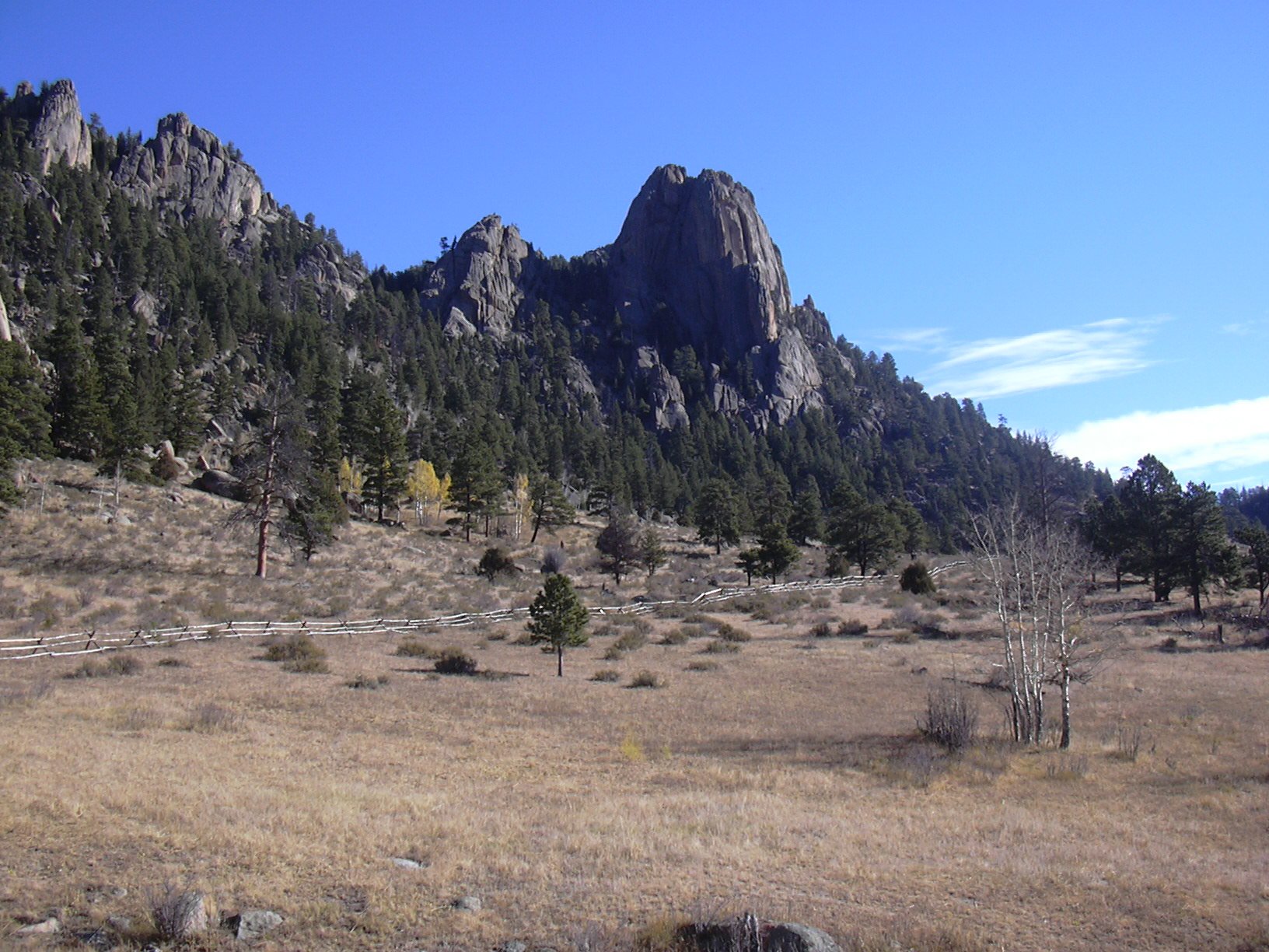
We hiked up the Gem Lake Trail a short distance, then stopped for lunch at a heavenly spot in a meadow next to an Engelmann spruce.
After lunch, we headed to Gem Lake, getting there at 14:45. The sign at Gem Lake says "1.8 miles to Lumpy Ridge Trailhead". Hiking down from Gem Lake, we eventually reached the intersection of the Gem Lake Trail and the trail to the Lumpy Ridge parking area and trailhead. The sign there says it's 0.5 miles back to the trailhead, and 1.1 miles to same place via the way we had started. We returned to the parking area at 15:30.
This is one of my favorite fall/spring hikes. The scenery on the Cow Creek Trail is especially nice. What a terrible name for such a nice trail. The 11.1 mile round trip hike took 5 hours, 38 minutes at a leisurely pace with a long lunch stop. The total elevation gain is about 2100 feet. This counts the climb from the parking area to the Dark Mtn/Needles saddle, and the climb from Cow Creek to Gem Lake.
| Place name | Elev [ft] | Accuracy [ft] | Lat/Lon |
|---|---|---|---|
| Lumpy Ridge Parking Area | 7882 | 19 | 40.39624/105.51288 |
| Junction of parking area trail and Black C. Trail | 7945 | 23 | 40.40179/105.52023 |
| Saddle of Dark Mountain and The Needles | 9139 | 19 | 40.42241/105.56174 |
| Heavenly lunch spot | 8037 | 17 | 40.42720/105.51936 |
| Low point on Cow Creek, going to Gem Lake | 8014 | 17 | 40.42706/105.51814 |
| Gem Lake | 8856 | 49 | 40.41166/105.50321 |