Cabin Creek - Meeker Ridge - Lookout Mtn Trail Loop from Meeker Park, 09/27/2008

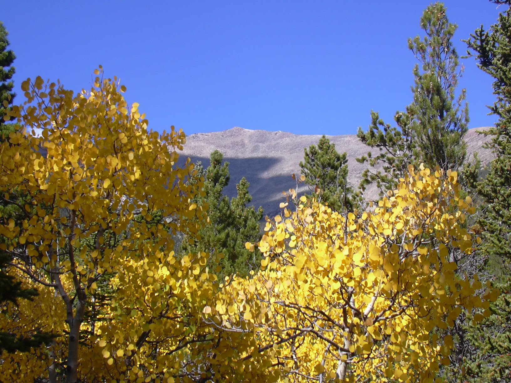
Mount Meeker with aspens, 09/27/08
On this hike we were looking for huckleberries, fall colors, a sense of adventure, and some good exercise. We found them all, but we only got two huckleberries.
You can see the GPS tracks for this entire hike. There are some gaps, due to the GPS not tracking.
On the Peak to Peak Highway at Meeker Park, we turned onto County Road 113N across the street from the Meeker Park Lodge. Driving about 1 mile, to the end of CR-113N, we parked and started hiking at 9:43.
Hiking up the trail that starts at the end of the road, we followed it to the RMNP boundary, and took the Horsetooth Peak Trail. Staying on this trail past its intersection with the Meeker Park Trail, we turned right onto a faint unofficial trail at about 0.3 miles from the start.
Heading northwest along the faint unofficial trail, we reached Cabin Creek. Staying on its south side, we followed the creek west as the faint trail eventually disappeared. We changed our direction southwest, and soon came upon a rock spire.
At the rock spire, the steep slope with loose rock made it difficult to continue, and we crossed over to the south side of the spire, where the terrain was far nicer. We continued southwest, ascending through limber pine forest.
Rising above treeline, we reached the Meeker Ridge at an elevation of 11,646 feet, where the odometer showed 7.84 miles. This was the high point of the hike, at 2,912 feet above our parking place. From this vantage point we could see the Wild Basin area, and got a good picture of Copeland Mountain.
On the return, we descended along Meeker Ridge to the Meeker-Lookout saddle, then returned via the Horsetooth Peak Trail.
Returning to our parking place at 15:02, the odometer showed 11.0 miles. This hike took 5 hrs, 19 minutes, with an elevation difference from lowest (parking) to highest (Meeker Ridge) of 2,912 feet.
- Richard Hollos and Stefan Hollos
| Place name | Elev [ft] | Accuracy [ft] | Lat/Lon |
|---|---|---|---|
| Parking near Meeker Park | 8734 | 22 | 40.23711,-105.54048 |
| High point of hike on Meeker Ridge | 11646 | 7 | 40.23417,-105.58117 |