Box Lake, Eagle Lake, and Mertensia Falls, 09/16/2007
We left our house in Longmont at 6:00, and got to the Wild Basin entrance station at 6:42. The station was closed, and we proceeded to the parking area and Ranger Station. The parking area at this time of the morning was mostly empty.
We started hiking at 7:00. The sign said 6.8 miles to Thunder Lake. At the Thunder Lake and Lion Lakes Trail junction, the sign said 4.8 miles back to the Ranger Station, while our GPS odometer showed 4.12 miles. This is probably due to the GPS not tracking the whole way and essentially drawing straight lines through the missing parts.
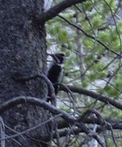
At this trail junction (Thunder Lake & Lion Lakes), we saw a woodpecker busily hacking away at the trees, looking for tasty bugs for breakfast. He seemed to be laser-beamed on finding food, and took no notice of us. Stefan managed to get a picture of him.

We headed up the Thunder Lake Trail to its closest point to the Thunder Lake outlet crossing point shown in the point list below, then left the trail, heading for that point. We crossed the outlet at 9:30. The Thunder Lake outlet is actually the beginning of the North St. Vrain River. The area around this crossing point is really nice meadow interspersed with forest.
After crossing the outlet, and wanting to go to Box Lake, we headed uphill, and getting to treeline, we realized that we were actually ascending the east ridge of Tanima Peak, and that there was a cliff between us and Box Lake. We did get some nice pictures though, of Box Lake, Mount Alice, Pilot Mountain, Pagoda, Longs Peak, and Mount Meeker. We could even see Mertensia Falls from this ridge. We then had to descend the way we had come, until the cliff was out of the way, and we could head south, toward Box Lake. We eventually merged with the faint unofficial trail to Box Lake, and got there at 11:23.
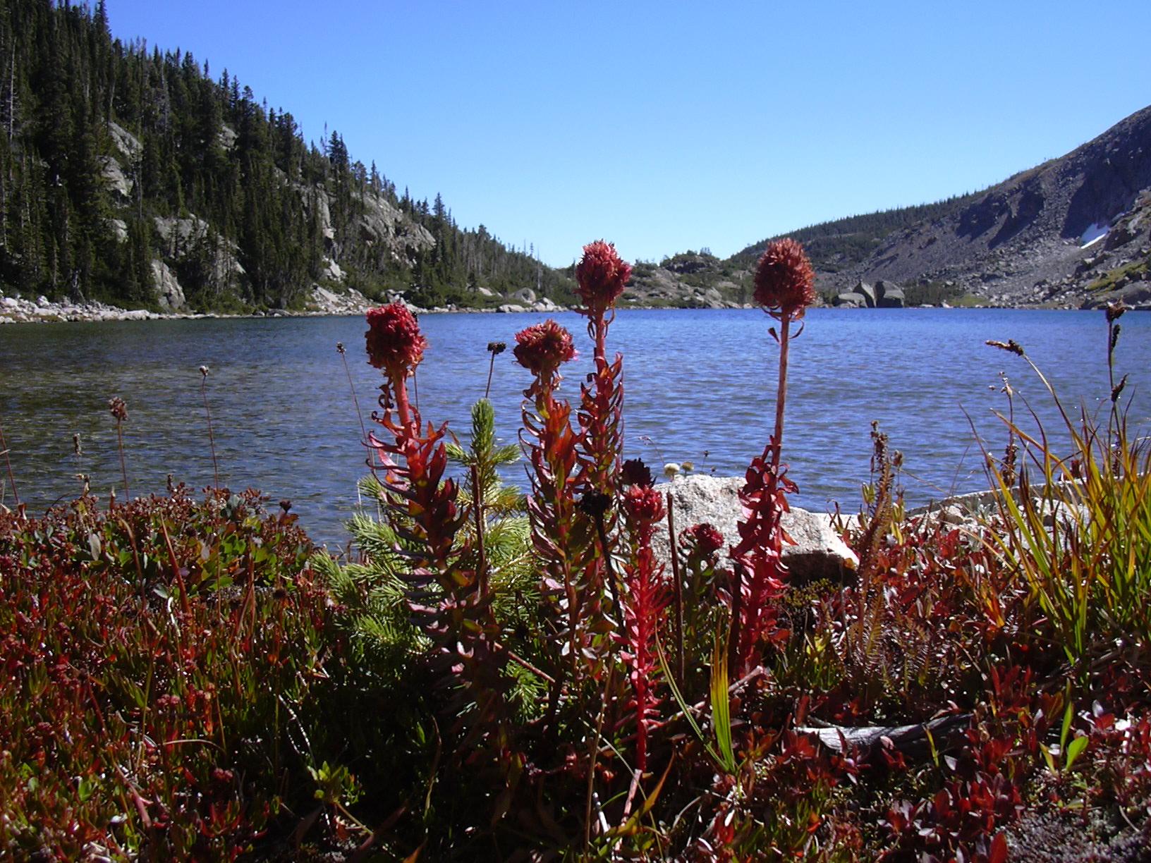
Box Lake is the first of the Shangri-La points on this hike, very beautiful, peaceful, and devoid of people. From Box Lake, we headed south, then southwest, to Eagle Lake. This was the second Shangri-La point on the hike. The lake itself was very beautiful with the golden willows and grasses of autumn on the shore. To the west we could see Eagles Beak and The Cleaver. We walked along the north shore of Eagle Lake to its inlet. The area around the inlet is my favorite side of the lake with the grassy meadow, formed by the silt washing down from Indigo Pond, butting up to the shore of the lake. At the inlet of Eagle Lake, the GPS odometer showed 7.73 miles. It was surely longer than this, due to the patchy GPS connection.

We then returned along the other (south) side of Eagle Lake, crossing the outlet and following it down toward Mertensia Falls. Because of the cliffs just before the falls, and the krummholz, we couldn't just follow the outlet of Eagle Lake to Mertensia Falls. We had to leave the outlet and head north until the cliffs and krummholz relented, then we headed east, and then south to the falls.
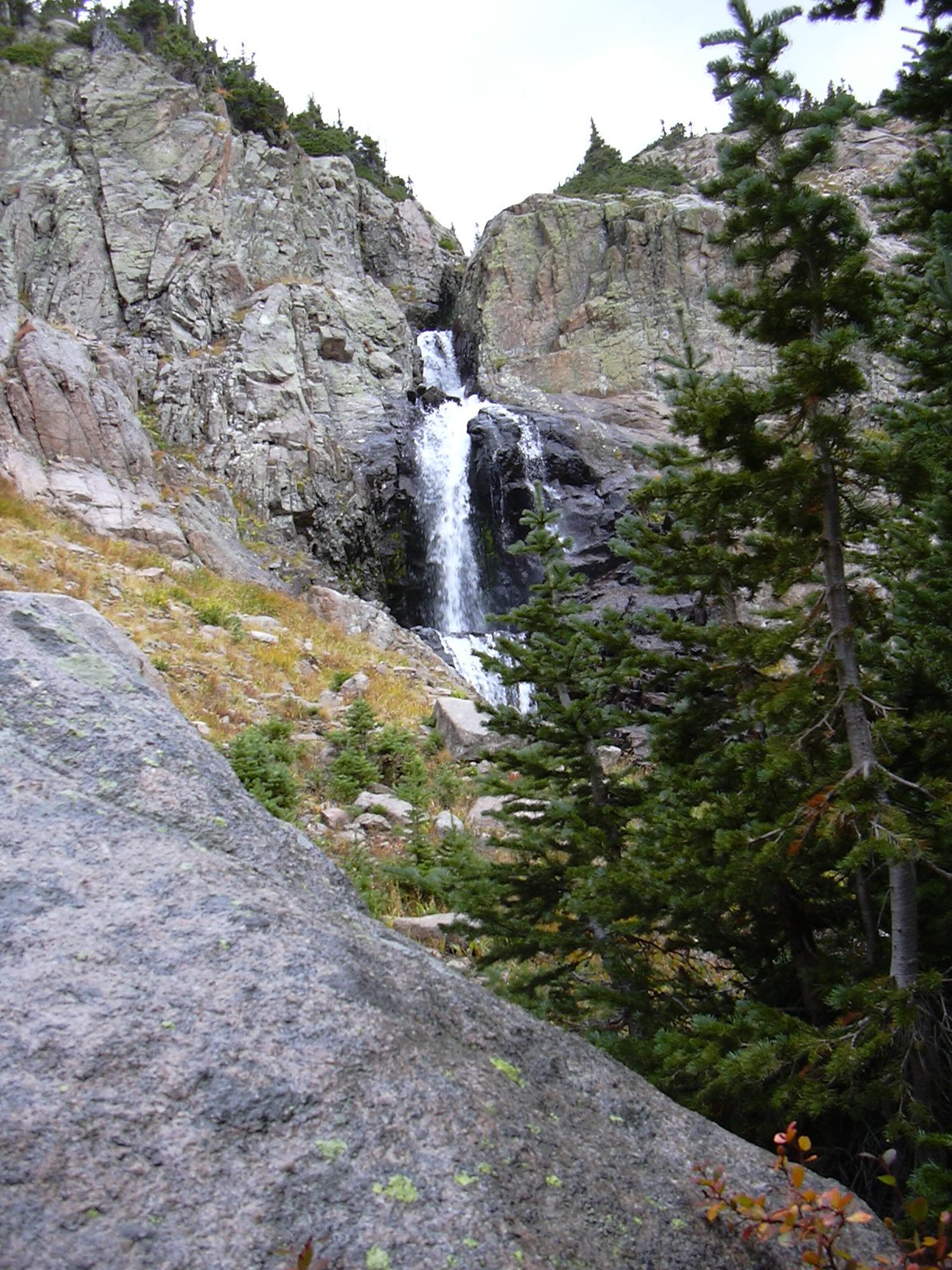
Just as we got to Mertensia Falls a hailstorm started, then it rained. Stefan took one picture before we had to head into the nearby forest to wait out the storm. When the storm passed, we took another picture of the falls. These falls are very scenic.

Leaving the falls, we followed the creek down to its confluence with the North Saint Vrain (i.e. the outlet of Thunder Lake), then continuing east, we eventually reunited with the Thunder Lake Trail. This stretch from the falls to the Thunder Lake Trail is very rugged, and it was really slow going. We crossed multiple little creeks near the North Saint Vrain, and had to clamber over countless logs, then ascend a steep forested slope before getting back to the Thunder Lake Trail.
From the Thunder Lake Trail, we headed back the way we had come. When we passed some people just beyond the Thunder and Lion Lakes Trail junction at about 14:30, Stefan pointed out that they were the first humans we had seen since we left the parking area at 7:00 am.
We finished the hike at 16:55. This hike was 5 minutes shy of 10 hours, and 2229 feet in elevation change from the parking spot to the inlet of Eagle Lake. Of course we also ascended the Tanima ridge for a bit. The bushwacking from the falls to the Thunder Lake Trail took a long time, and a lot of energy.
| Place name | Elev [ft] | Accuracy [ft] | Lat/Lon |
|---|---|---|---|
| Wild Basin Parking Area & Ranger Station | 8572 | 14 | 40.20791/105.56680 |
| Thunder & Lion Lake Trail intersection | 9497 | 23 | 40.21318/105.62537 |
| Inlet of Eagle Lake | 10801 | 20 | 40.21191/105.65376 |
| Number | Description | Lat/Lon |
|---|---|---|
| 1 | Eagle Lake inlet | 40.2120/105.6533 |
| 2 | Box Lake outlet | 40.2135/105.6473 |
| 3 | Thunder Lake outlet crossing | 40.2208/105.6428 |