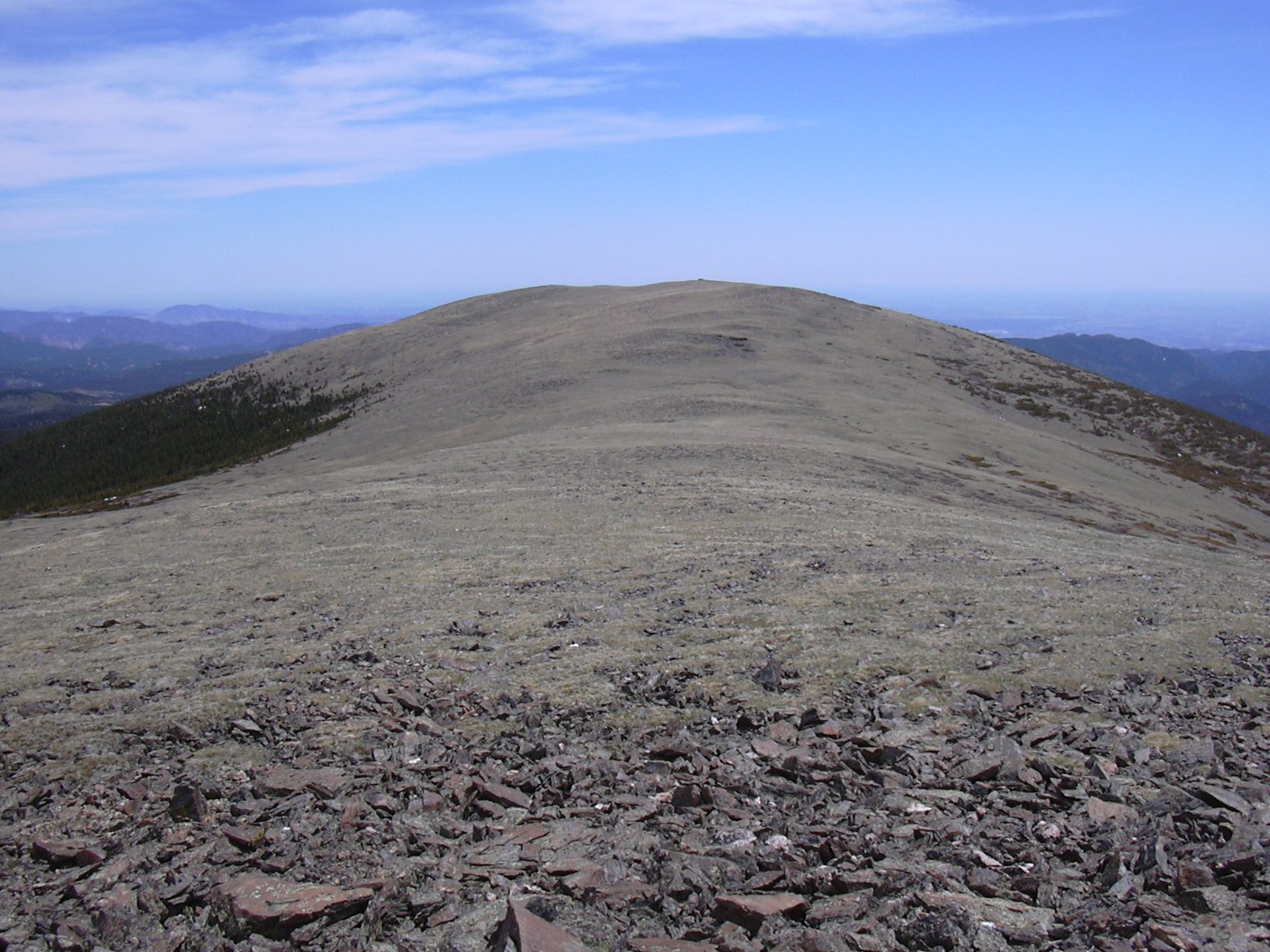
Niwot Mountain (11471 ft) and Point 11557 from Rainbow Lakes Road, 06/14/2008

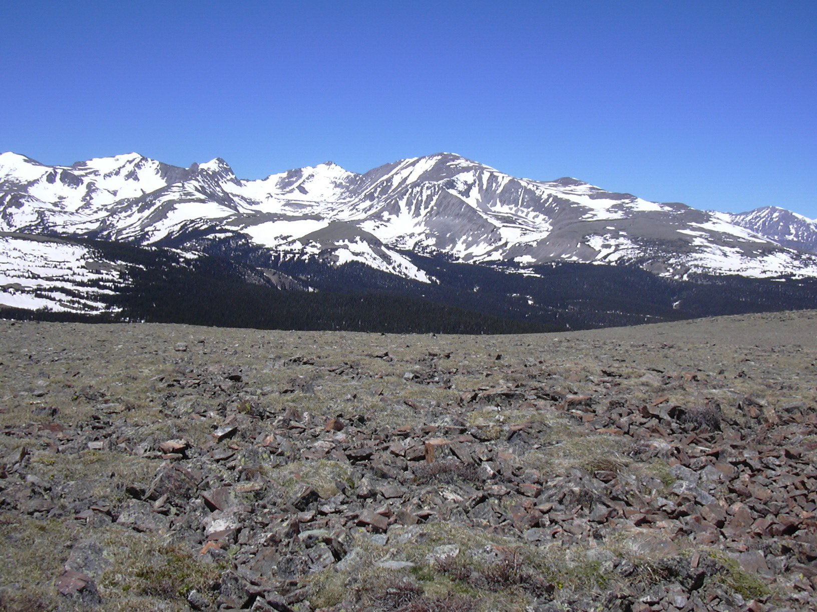
Mount Audubon from summit of Niwot Mountain, 06/14/08

Niwot Mtn from Point 11557, 05/27/06
Niwot Mountain (11,471 ft) is in Gerry Roach's Boulder County Peaks List. It is unranked. Point 11557 is not on this list, although it's higher than Niwot Mtn and only 0.87 miles from it. Probably because Point 11557 can be considered part of Niwot Ridge.
You can see the GPS tracks for this entire hike. There are some gaps, due to the GPS not tracking.
Parking at the Sourdough Trailhead off of Rainbow Lakes Road, we started hiking at 10:24, heading north on the Sourdough Trail.
At 0.43 miles, we left the Sourdough Trail and turned left onto an old dirt road. At 0.83 miles, we turned right onto Niwot Ridge Road. At 1.72 miles, we left Niwot Ridge Road, and turned right onto a forest trail. At 2.18 miles, we turned right at a fork in the trail. It soon got very snowy, but we continued north until reaching Four Mile Creek. We then followed the creek drainage up to the summit of Niwot Mountain.
We reached the summit at 12:14, where the the odometer showed 3.94 miles. The Niwot Mountain summit has spectacular views. From Mount Evans to the south, to Longs Peak to the north; and almost every mountain in between can be seen.
There is a substantial rock wind shelter on the summit, which makes a rest there pleasant, in spite of the almost perpetual wind.
I believe we had left a register on the summit a couple years ago, but it was missing. Only the jar remained, filled with a few rocks. What is the motivation for removing new summit registers? We'll place a new one there next time.
Leaving the summit at 12:44, we headed southwest across the alpine tundra, toward Point 11557. I was amazed to see so many alpine flowers already.
Reaching Point 11557 at 13:05, our odometer showed 4.81 miles. From there we could see Lefthand Reservoir to the north. Although this reservoir is closer to the Niwot Mtn summit, you can't see it from there because of the broad shoulder of its summit.
From Point 11557, we headed south, stopping at what we call the Monolith which is just above treeline, at 11,190 feet. This is a phallic shaped object that appears to be either a relic of the Cold War, or something that belongs in the book "Chariots of the Gods".
From the Monolith, we headed south, then southwest through the forest. The terrain isn't terribly bad. There was no krummholz at timberline, and the forest wasn't so thick it slowed us down. We had lunch in the forest among the limber pines, then eventually came upon a ski trail, which we took down to Niwot Mtn Road, where the odometer showed 7.2 miles.
We took Niwot Mountain Road down to our incoming path, then returned the way we came. Getting back to the parking place at 15:46, our odometer showed 9.4 miles.
This hike took 5 hours, 22 minutes, with an elevation difference from lowest to highest of 2,346 feet. This hike had a lot of solitude. We saw no other humans for the entire hike.
- Richard Hollos and Stefan Hollos
| Place name | Elev [ft] | Accuracy [ft] | Lat/Lon |
|---|---|---|---|
| Parking at Sourdough Trailhead | 9250 | 20 | 40.02766,-105.52454 |
| Niwot Mountain summit | 11501 | 8 | 40.05878,-105.55264 |
| Point 11557 | 11596 | 7 | 40.05280,-105.56535 |