Bald Mountain (8620') and Porphyry Mountain (8336') from James Canyon Drive, 02/16/2008
Porphyry Mountain (8336') from Bald Mountain summit, 02/16/08

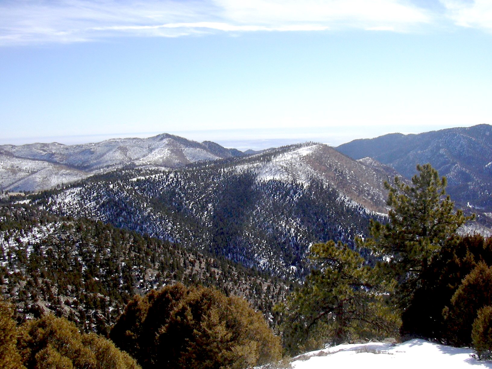
Bald Mountain (8620') from Porphyry Mountain summit, 02/16/08
Bald Mountain (8620 ft) is ranked number 51 in Gerry Roach's Boulder County Peaks list. He calls it Bald Mtn C. Porphyry Mountain (8336 ft) is ranked number 60 on his list.
We parked at the intersection of James Canyon Drive (County Rd 94), and Balarat
Road (County Rd 87). A sign there says
Beginning our hike at 10:35, we followed an old trail that heads northwest toward the Argo Mine, then headed north, straight up the slope toward the summit of Bald Mountain.
The terrain up this slope to the summit was ideal. Facing south, the slope was snow-free and sunny. Most of the way up was meadow. Near the top, it became more rocky, with a little bit of snow. This slope was steep and direct. By 11:06, we had ascended 1000 feet to 8300 feet, in only 0.56 miles.
We reached the Bald Mountain summit at 11:16, where the odometer showed 0.78 miles. This summit is 1300 feet higher than our parking place. The views here are really nice. To the southeast, and going counterclockwise, you can see Porphyry Mountain, Golden Age Hill, Fairview Peak, Peak 8588, Peak 8315, and Berry Ridge. Mount Meeker can also be seen to the northwest, through the trees. In spite of its name, the summit of Bald Mountain does have a few trees. In fact there are four species on the top: Ponderosa Pine, Douglas Fir, Rocky Mountain Juniper and Limber Pine.
From the summit of Bald Mountain, we headed east, then southeast along a ridge to the Bald-Porphyry saddle. Staying on the southside of the ridge the snow wasn't too deep to be unreasonable. The only wildlife we saw on the way to the saddle, was a herd of deer.
From the saddle, we followed County Rd 87 toward Porphyry Mtn, then took an old mining road up toward the summit. The snow got really deep on the last few hundred feet to the summit.
We reached the summit of Porphyry Mtn at 12:40, where the odometer showed 2.66 miles. This summit is not nearly as nice as the Bald Mtn summit. There are lots dead trees around the summit area, due to a fire several years ago. But the rocks are far more interesting. They come in a variety of colors: yellow, orange, gray, black, red, and white. But with a name like porphyry you would expect the rocks to be interesting.
There are two summits of Porphyry Mountain that are approximately of equal height. The one that Topozone shows is on the northwestern side of the summit plateau. The other is on the southeastern side. Our gps shows the souteastern to be 5 feet higher, although the accuracy doesn't make that definitive. The two summits are 0.13 miles apart.
We returned by retracing our steps back to the Bald-Porphyry saddle, then took Balarat Road down to our parking place.
On our return, the odometer showed 4.77 miles. The total trip time was 3 hours, 9 minutes. The total elevation gain was approximately 1341 (Bald Mtn ascent) + 376 (saddle to Porphyry) = 1717 feet. This hike has it all: a steep climb, wonderful scenery, no crowds, and interesting rocks.
| Place name | Elev [ft] | Accuracy [ft] | Lat/Lon |
|---|---|---|---|
| Parking near Jamestown | 7309 | 18 | 40.12865/105.40047 |
| Bald Mountain summit | 8650 | 14 | 40.13825/105.40318 |
| Porphyry Mountain summit | 8379 | 18 | 40.12713/105.38805 |
| Porphyry Mountain summit, #2 | 8384 | 14 | 40.12628/105.38636 |
| Bald-Porphyry saddle (at Rd intersection) | 8008 | 15 | 40.13528/105.38789 |
| Number | Description | Lat/Lon |
|---|---|---|
| 1 | Porphyry Mtn (8336') | 40.1271/105.3881 |
| 2 | Bald Mtn (8620') | 40.1386/105.4036 |
| 3 | Bald-Porphyry Saddle | 40.1349/105.3878 |