Point 8000 from junction of Lefthand Canyon and James Canyon Dr, 01/23/2011
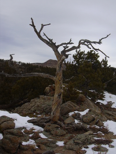
Old tree on Point 8K, 01-23-11
You can see the GPS tracks for this hike.
Parking at the intersection of Lefthand Canyon Drive and James Canyon Drive, we started hiking at 10:14, going northeast on an old mining trail that's on the north side of the road.
Seeing that it was descending as it paralleled Lefthand Canyon Drive, we decided to turn around and follow it in the other direction, since we wanted to gain altitude. It seemed to terminate at our parking place, so we figured we'd hike up the snow-free south facing slope that the old road is on.
After ascending about 300 feet, we came upon a flat area circled with rocks, and a fire-ring next to it. Beyond this, a trail started, which we followed, as it ascended along the ridge top. This trail eventually met a 4WD road that is part of the Lefthand OHV area.
The ridge trail continued on the other side of the road, as we followed it. The trail appeared to have been traveled by dirtbikes, and it eventually ended at a rugged rock knob. We went around this rock knob and continued up along the ridge. Some parts of the ridge were very rugged, while others were easy traveling.
On the way up we saw 2 ravens flying low up the ridge, 1 nuthatch, and the tracks of a small bobcat who was traveling the same direction we were.
We reached the ridge top at 12:21, with the odometer at 2.4 miles. This point was at an elevation of 8021 feet, which is 1695 feet higher than our parking place. There are some great views at this point. In particular to the southeast, the foothill peaks of the Boulder area can be seen, and to the north, Fairview Peak.
Near the ridge top, Stefan took a picture of an old tree (shown here). He said it reminded him of these lines from the 15th century Japanese Zen Buddhist Ikkyu (1394-1481):
I won't die.I'm not going anywhere
I'll be here.
But don't ask me anything.
I won't answer.
Continuing along the ridge, it remained relatively flat for awhile, and the top of one rock, at 2.5 miles, measured a few feet higher than our first high point.
Continuing on the ridge we hit a 4WD road at 2.6 miles. This road, we turned right onto, and took it back, as it paralleled the ridge that we come up on. We eventually intersected our incoming path where the ridge trail crosses the road, and followed our tracks back.
We returned at 13:55, with the odometer at 4.5 miles.
- Richard Hollos and Stefan Hollos
| Place name | Elev [ft] | Accuracy [ft] | Lat/Lon |
|---|---|---|---|
| Parking @ Lefthand/James Canyon junction | 6326 | 20 | 40.10236,-105.34201 |
| High point 1 on Point 8000 | 8021 | 16 | 40.12191,-105.35243 |
| High point 2 on Point 8000 | 8027 | 20 | 40.12319,-105.35154 |
| 4WD road at end of ridge | 7955 | 20 | 40.12413,-105.35070 |