Hogback Ridge, Mount Sanitas (6,819 ft), and Anemone Hill, 01/12/2008
This hike was in two parts. The 1st was Hogback Ridge from the North Foothills Trailhead, and the 2nd was Mount Sanitas with Anemone Hill.
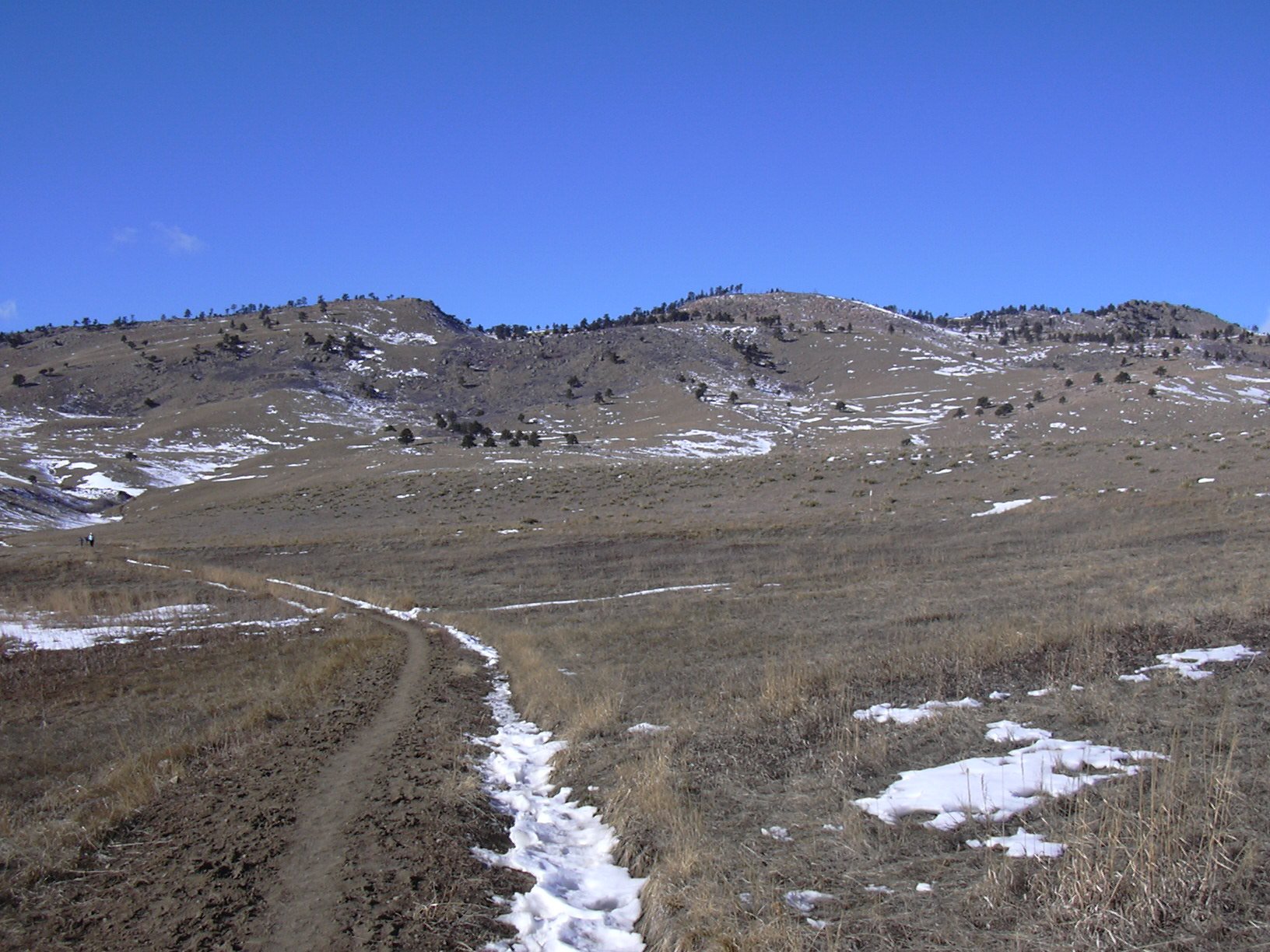
Hogback Ridge from North Foothills Trail, 01/12/08
Parking at the North Foothills Trailhead, just off Hwy 36 in north Boulder, we started hiking west on the North Foothills Trail at 10:45. After 1/2 mile, we turned right onto the Hogback Ridge Trail, and ascended Hogback Ridge, doing the loop in a clockwise direction. Reaching the top of the ridge at 11:16, the odometer showed 1.31 miles. This point is 880 feet higher than the parking area. We returned to the parking area at 11:54, where the odometer showed 2.90 miles.
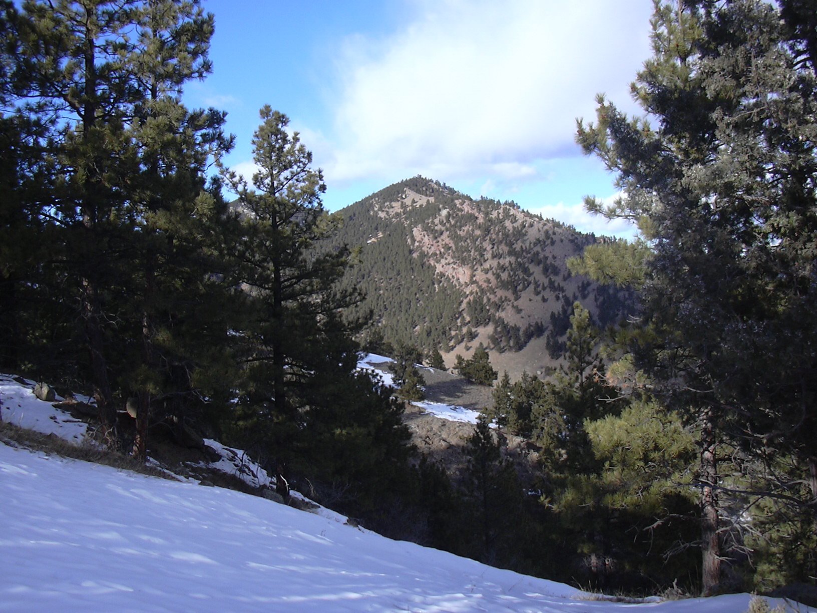
Parking near the hospital because the trailhead parking was full, we started hiking up the Sanitas Valley Trail at 12:19. From the Sanitas Valley Trail, we took the East Ridge Trail up to the top of Mount Sanitas. We got to the summit at 13:02. The summit is 1,291 feet higher than the Sanitas Trailhead. We descended via the Mount Sanitas Trail, getting down to the trailhead at 13:41, where the odometer showed 3.06 miles.
Mount Sanitas from Anemone Hill, 01/12/08
From the Mount Sanitas Trailhead, we crossed the street, and started heading south to the Red Rocks/Anemone Hill saddle, then up to the top of Anemone Hill. It took us 20 minutes to reach the top of Anemone Hill from the Sanitas Trailhead, which is an 800 foot gain in altitude. We got back to the Mount Sanitas Trailhead parking at 14:30, where the odometer showed 4.63 miles.
The total hiking time for both hikes combined was 3 hours, 20 minutes. The total elevation gain was 2,971 feet.
| Segment | Gain [ft] |
|---|---|
| North Foothills Trailhead to Hogback Ridge top | 880 |
| Sanitas Trailhead to Sanitas summit | 1,291 |
| Sanitas Trailhead to Anemone Hill top | 800 |
| Total | 2,971 |
| Place name | Elev [ft] | Accuracy [ft] | Lat/Lon |
|---|---|---|---|
| North Foothills Trailhead | 5550 | 15 | 40.07048/105.28253 |
| Hogback Ridge high point | 6430 | 15 | 40.07506/105.29826 |
| Sanitas Valley Trail/Gold Hill Rd intersection | 5533 | 17 | 40.02073/105.29453 |
| Mount Sanitas Trailhead | 5550 | 20 | 40.02099/105.29626 |
| Mount Sanitas summit | 6841 | 14 | 40.03437/105.30526 |
| Anemone Hill high point | 6350 | 17 | 40.01896/105.30535 |