Sawtooth Mountain (12,304') from Beaver Reservoir, 07/12/2008

Sawtooth Mtn from Coney Flats, 07/12/08

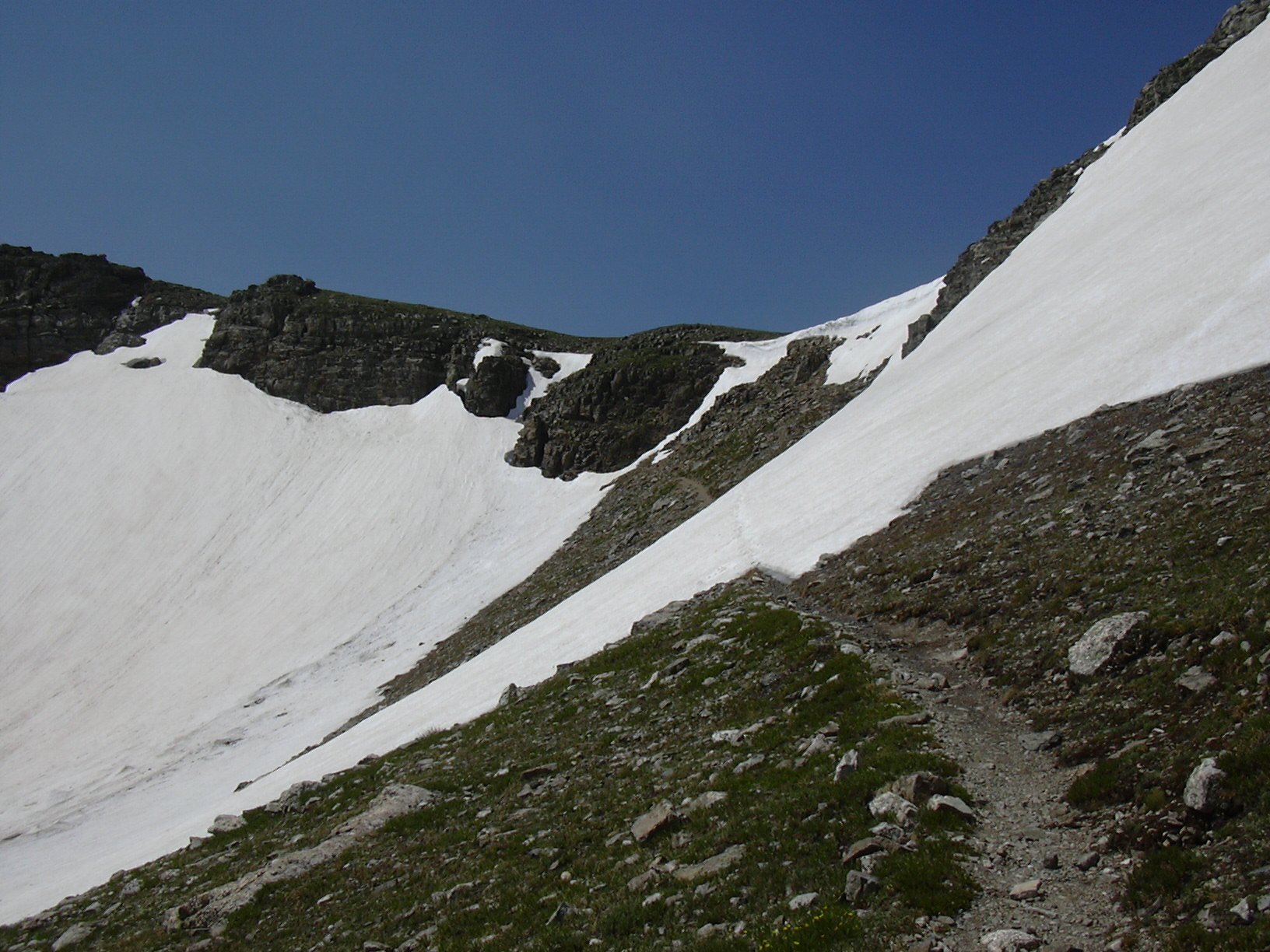
Buchanan Pass, 07/12/08
Sawtooth Mountain (12,304') is Roach #30. It's a popular peak, due to the fact that it has high visibility in Boulder County. Beaver Reservoir is the usual starting point for a day hike, although with a 4WD vehicle, or an ATV, or a bike, you can take the very rugged Coney Creek 4WD Forest Road to Coney Flats and start at the Indian Peaks Wilderness Boundary. It has a roundtrip distance of 17.0 miles, and an elevation gain of 3,165 feet.
You can see the GPS tracks for this entire hike. There are some gaps, due to the GPS not tracking.
From the Peak to Peak Highway, we turned west at the sign for the Boy Scout camp, onto Beaver Reservoir Road (CR-96), and drove approximately 2 miles to Beaver Reservoir. At the north end of the Reservoir is the start of the Coney Creek 4WD Road, which is where we parked.
We started hiking up the Coney Creek 4WD road at 8:20, and reached the Coney Flats Trailhead at the boundary of the Indian Peaks Wilderness at 9:33, where the odometer showed 3.34 miles.
Taking the Buchanan Pass Trail into the Indian Peaks Wilderness, after about 1/2 mile, you are greeted with a spectacular view of Sawtooth Mountain. Continuing on, the trail was very wet in places due to snow melt, and the trail crossed a few patches of snow.
Just below Buchanan Pass, there was still a good sized snowfield, which we had to cross, then finally scrambled over a 6 foot tall cornice, before reaching Buchanan Pass (11,837') at 11:26. The odometer showed 7.5 miles here.
From Buchanan Pass, we headed southeast to the summit of Sawtooth Mountain (12,304'). We reached the summit of Sawtooth at 11:56, with the odometer showing 8.57 miles. The benchmark on the Sawtooth summit says 12,304 feet, while our GPS showed 12,364. From the summit there are impressive views of Mount Audubon, Paiute Peak, Algonquin, Coney Island, and the east ridge of Sawtooth.
We returned the way we came, taking our time, and enjoying the symphony of colors, smells, and sounds. The abundance of wildflowers on the alpine tundra was especially nice. We returned to our parking place at 16:42. On our return the odometer showed 17.0 miles. The total trip time was 8 hours, 22 minutes, and the elevation gain was 3,165 feet.
- Richard Hollos and Stefan Hollos
| Place name | Elev [ft] | Accuracy [ft] | Lat/Lon |
|---|---|---|---|
| Parking at Beaver Reservoir | 9198 | 10 | 40.12118,-105.52373 |
| Buchanan Pass | 11870 | 13 | 40.13096,-105.63011 |
| Sawtooth Mtn summit | 12363 | 9 | 40.12649,-105.62463 |