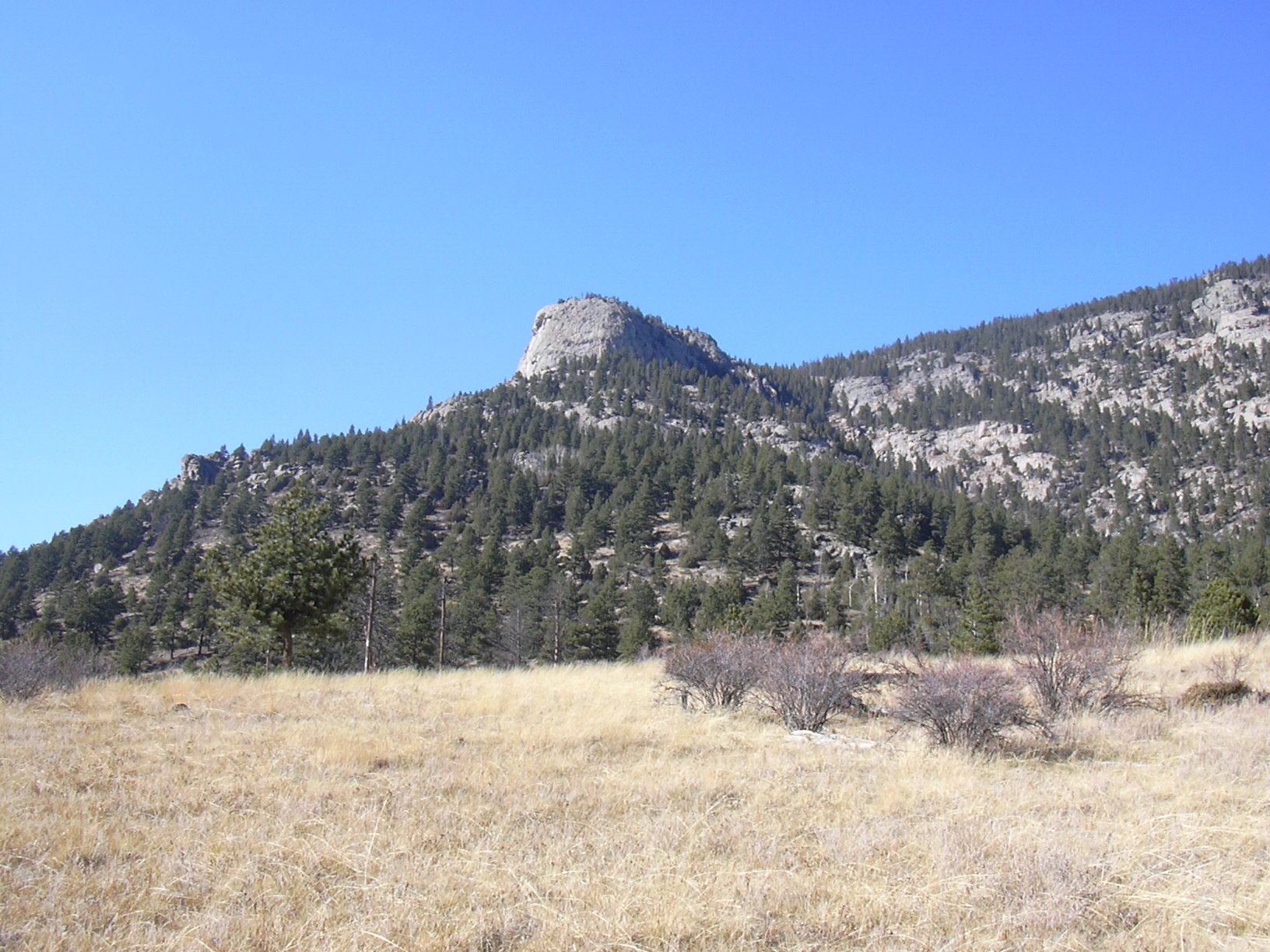
Sheep Mountain, Bridal Veil Falls Loop, 10/28/2007
At the Cow Creek Trailhead there were only two cars parked, when we started hiking at 9:06. It was a nice warm sunny morning. A single duck was preening himself in Cow Creek. Just after the last cabin, we turned right onto the North Boundary Trail. Climbing steeply up the trail, we reached the ridge of Sheep Mtn at 9:31. From there, we said goodbye to the trail, turning left (west) and ascended the slope toward the Sheep Mountain summit.

The terrain toward the summit was not too rugged, as we reached the summit of Sheep Mountain at 10:37. It's actually difficult to locate the exact position of the summit because the mountain is so flat near the top, but the summit is marked by a cairn and actually contains a summit register. The summit position we had gotten from Topozone was a bit off. Upon reaching the summit, our GPS odometer showed 2.31 miles.
The summit register had only three entries for the entire year of 2007, the last being June 20. This register was placed by George Hockman, RMNP ranger, on Nov 17, 1992. Because of the sparseness of register signings, we were confident of not meeting anyone on the mountain. Lo and behold, we heard voices and three people soon showed up. They were also having a hard time locating the summit, as we yelled to them, "The summit's over here!". They were from Boulder: Ron Sperl and a couple whose names I didn't get.
Wishing our fellow hikers a good day, we headed southwest toward the Sheep Mountain overlook. It took about 15 minutes to get to the overlook, and boy was it worth it. At one place on the overlook we could see the pond on Cow Creek where the trailhead is, and where we had parked. And on the western side of the overlook we had a spectacular view of the entire Lumpy Ridge, along with the west side of Cow Creek.
From the Sheep Mountain overlook, we headed northwest, toward Knob 9776, getting there at 12:12. This is a prominent rock knob northeast of Bridal Veil Falls. There is a USGS marker on top of this knob, that actually shows the elevation as being 9796. At this knob our GPS odometer showed 3.73 miles.
Leaving Knob 9776, we followed the ridge northwest about 1/2 mile before descending, and heading southwest toward Bridal Veil Falls, getting there at 13:47. After taking a few pictures of the falls, we headed back on the Bridal Veil Falls Trail to the Cow Creek Trail, then back to our parking place.
We finished the hike at 14:58, and had a late lunch at a picnic table near the Cow Creek Trailhead. At the end of the hike, the odometer showed 8.72 miles. The elevation difference from lowest (parking area) to highest (Sheep Mtn summit) point was 1,992 feet. The elevation gain was a bit higher than this because of the climb up Knob 9776 from the saddle with Sheep Mountain.
| Place name | Elev [ft] | Accuracy [ft] | Lat/Lon |
|---|---|---|---|
| Cow Creek parking area | 7864 | 19 | 40.43071/105.50060 |
| Ridge of Sheep Mtn on N. Bndry. Trail | 8483 | 17 | 40.43962/105.50479 |
| Sheep Mountain summit | 9856 | 15 | 40.43765/105.52840 |
| Sheep Mountain overlook (view of Cow Creek) | 9668 | 15 | 40.43382/105.53046 |
| Sheep Mountain overlook (view of Lumpy Ridge) | 9691 | 36 | 40.43367/105.53091 |
| Knob 9776 | 9789 | 15 | 40.44156/105.53654 |
| Number | Description | Lat/Lon |
|---|---|---|
| 1 | Bridal Veil Falls | 40.4356/105.5506 |
| 2 | Point 9776 | 40.4416/105.5361 |
| 3 | Sheep Mountain summit (9794') | 40.4372/105.5282 |
| 4 | Sheep Mountain Overlook | 40.4338/105.5304 |
Topo Map of the Sheep Mountain Area