Diamond Lake and Upper Diamond Lake from Grand Island, 09/29/2007
From Nederland, we drove to Eldora, then after the road turns to gravel, turned right on the Fourth of July Road, and drove about 1.2 miles to an elevation of about 9460 feet. We parked alongside the road near a waterfall that is visible from the road. Note that this area is labeled "Grand Island" on topomaps, which I believe was once an old mining town. There is nothing there now except for a few private summer cabins.
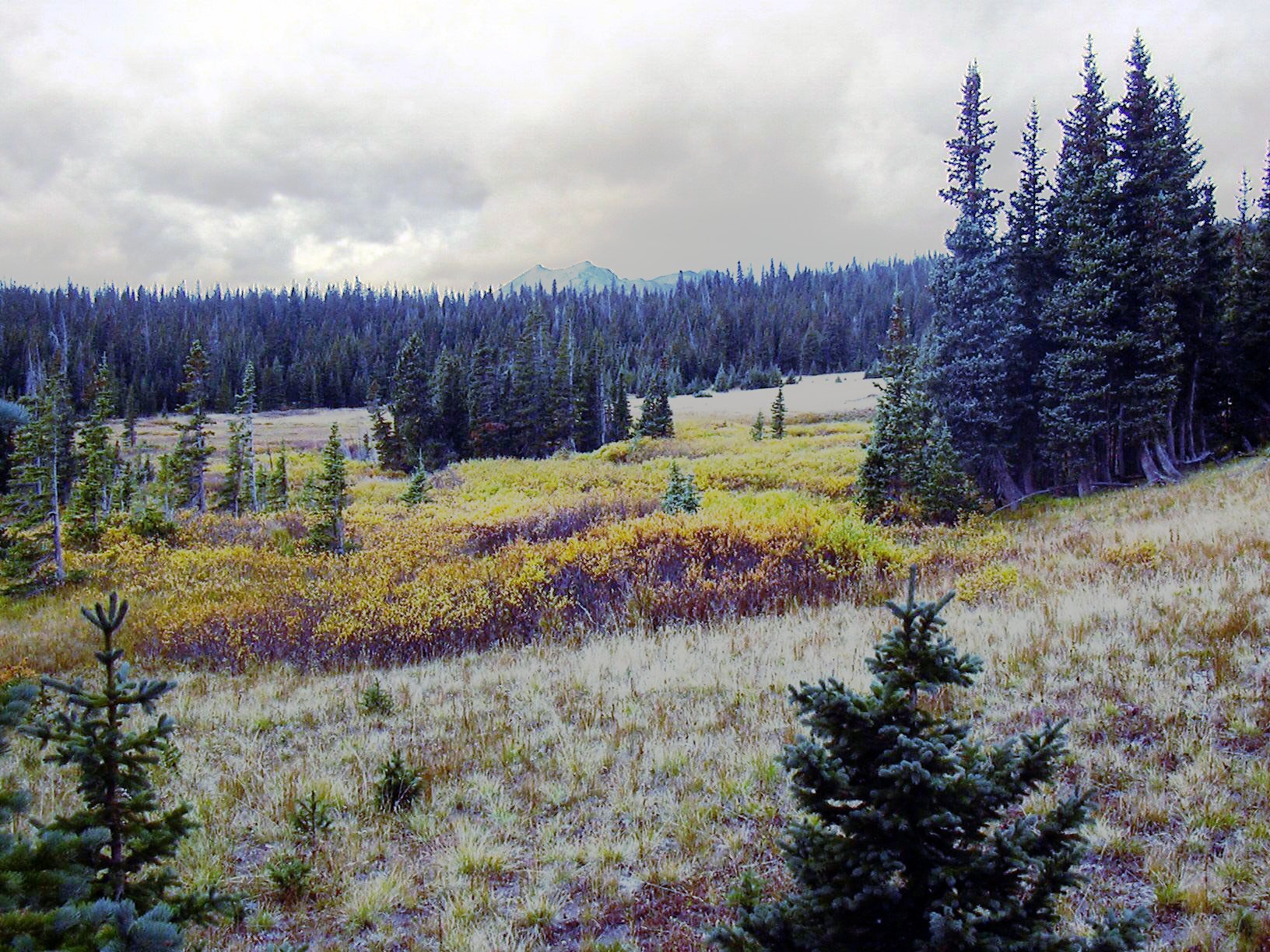
From our parking place, we started hiking at 8:21, first going up the road a few hundred yards, then turning left onto a well worn trail, which is pretty easily seen from the road. The trail soon crosses the Boulder Creek North Fork, then climbs steeply up the side of Chittenden Mountain. Starting at an elevation of about 10400 feet, the trail enters meadow. The golden grasses and orange willow leaves made a spectacular autumn scene.

Near an elevation of about 10720 feet (see "Leave Trail" point in list below), we left the trail, turning right and climbing a steep slope northwest toward the Diamond Lake Trail. Continuing in the northwest direction, we reached the Diamond Lake Trail at an elevation of 11447 feet (see Diamond Lake Trail meet-up point below). Note that the Diamond Lake Trail has been significantly rerouted compared to what is shown on Topozone. The point shown here is where we actually met the Diamond Lake Trail.
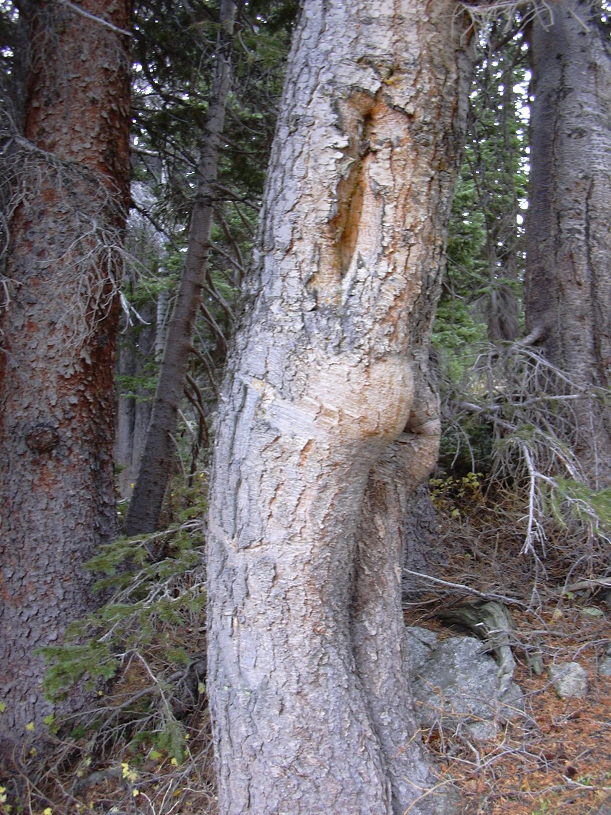
Turning right onto the Diamond Lake Trail, we steeply descended about 500 ft, from approximately 11450 to just below 11000, and then it was a 20 minute hike at a relatively constant elevation to Diamond Lake. Along the way, we took a picture of a funny looking tree that looks like part of a person.

We reached Diamond Lake at 10:49, walked around the north side, then followed an unofficial trail heading toward Upper Diamond Lake.
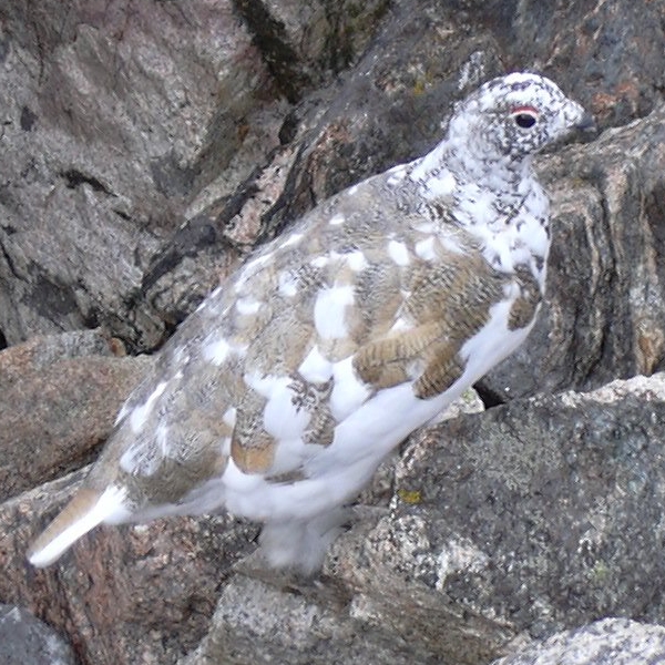
The trail disappeared as we continued to Upper Diamond Lake, traversing a boulder field before reaching Upper Diamond Lake at 11:58 where the odometer showed 5.5 miles since we started the hike. As we started traversing the boulder field, at the boundary between alpine meadow and rock, we came upon a flock of ptarmigan. They were amazingly unafraid of us, and were halfway between their summer brown color, and winter white color.

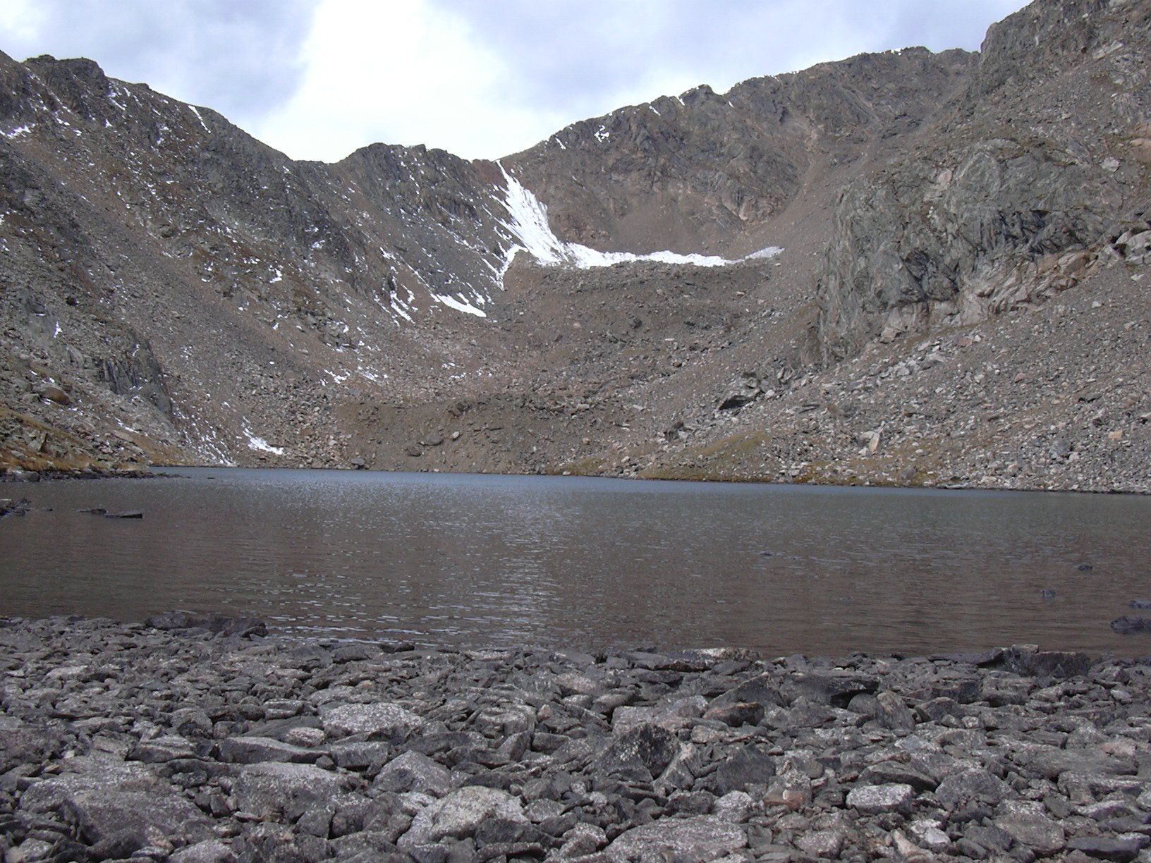
Upper Diamond Lake is a really nice secluded place, boxed in on three sides by rock wall and talus slope, and open on the east side to rocky alpine meadow.

We returned a different way than we had come. First, following the outlet of Upper Diamond Lake down to the next lake (unnamed) at an elevation of 11500, then roughly following its outlet down to the Diamond Lake Trail. Turning left on the Diamond Lake Trail, we made our way to the Fourth of July Campground, then followed the Fourth of July Road down about 2.8 miles to our parking place.
We returned to our parking place at 15:20 where the odometer showed 12.0 miles since our start. The total time for this hike was 7 hours, and the elevation difference from the lowest to highest point was 2306 feet. We did descend about 500 feet on the Diamond Lake Trail, so we actually climbed about 2800 feet.
| Place name | Elev [ft] | Accuracy [ft] | Lat/Lon |
|---|---|---|---|
| Parking (4th of July Rd @ Grand Island) | 9458 | 17 | 39.97015/105.60316 |
| Diamond Lake Trail meet-up point | 11447 | 16 | 39.98464/105.64336 |
| Diamond Lake outlet | 10975 | 30 | 39.99398/105.64814 |
| Upper Diamond Lake | 11764 | 14 | 39.99136/105.67240 |
| Number | Description | Lat/Lon |
|---|---|---|
| 1 | Grand Island Trailhead | 39.9720/105.6043 |
| 2 | Leave Trail | 39.9778/105.6315 |
| 3 | Diamond Lake Trail | 39.9820/105.6342 |
| 4 | Diamond Lake outlet | 39.9939/105.6468 |
| 5 | Upper Diamond Lake outlet | 39.9918/105.6704 |