Blogroll
Our old hiking page14ers.com
Gerry Roach
SummitPost
Colorado Trail Foundation
Continental Divide Trail Coalition
Pacific Crest Trail Association
Appalachian Trail Conservancy
Appalachian Trail Blog
A quick loop through Spruce Gulch for some exercise.
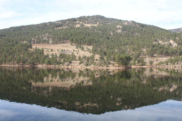
For many years we had searched for Aquilla Cook’s grave on Cook
Mountain to no avail. Recently we came across the story of Aquilla
Cook’s death by Silvia Pettem
at the Daily
Camera. By the way, she’s written some wonderful books on the history of
Boulder County. In that story, she mentioned a marker in the mountains
where he died. This we knew must be on Cook Mountain, and an internet
search got us the coordinates of the marker. We’re unable to again find
the web page with those coordinates, but using that point typed into a
GPS got us to find the marker on Cook Mountain. The point is:
40.21785, -105.39939, elev 7164 ft, accuracy 23 ft
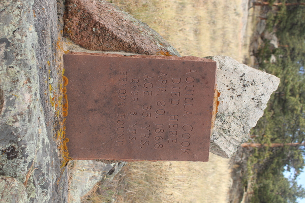
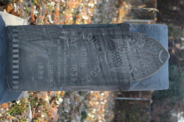
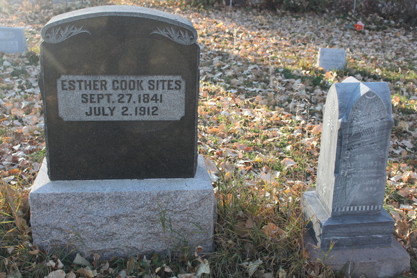
Silvia Pettem, in her story, says that Aquilla Cook is not buried on Cook Mountain like we thought, but is in Hygiene Cemetery. If you want to visit the grave, it’s on the south side of Hygiene Road, near the west boundary of the cemetery. The cemetery spans both sides of Hygiene Road, and the north side of the road has a church with the cemetery surrounding it.
For this hike we started at the Button Rock Preserve parking area, hiking west on Longmont Dam Road, taking the right branch of the road after about a mile, then the left branch after the steel bridge which took us by the ranger station, then the north shore of Ralph Price Reservoir.
We followed the trail west along the north shore of the reservoir. The trail ends at a dirt road on the west side of the reservoir, where we turned left (south) onto it as it headed uphill along the southeast slope of Cook Mountain. We departed the dirt road when the GPS indicated that our destination point was just west of us, heading across trackless meadow interspersed with ponderosa pine.
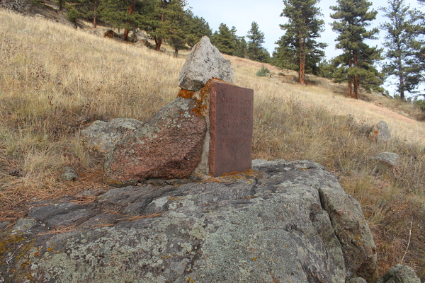
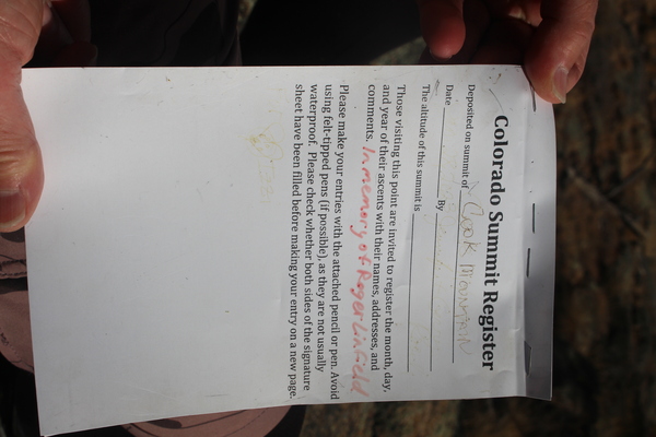
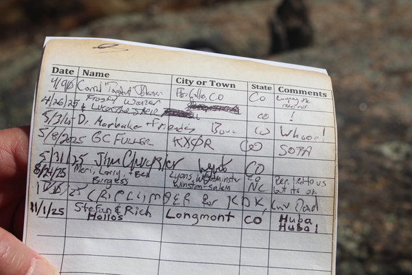
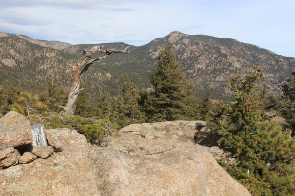
It took us a little while to find the marker, but we did. It is cemented onto a boulder that they apparently found him lying on. The marker indicates that his body was there for 3 years before it was found. The views from the boulder where he was found are fantastic. You can see Coffintop Mountain to the southeast and Ralph Price Reservoir to the east. Of course in 1868, he couldn’t see the reservoir as it wasn’t there yet.
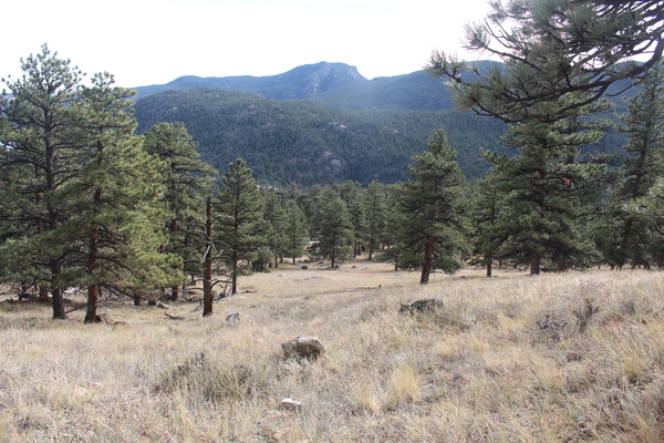
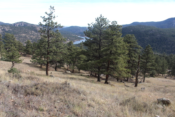
From the marker we headed west up to the summit of Cook Mountain, then on the return, descended the mountain along its north ridge, which meets a forest road that took us to a forest road intersection, where we turned right (east) to return to the reservoir via mostly forest roads.
We’re not able to download data from our old GPS, but we drew the approximate route in Google Maps.
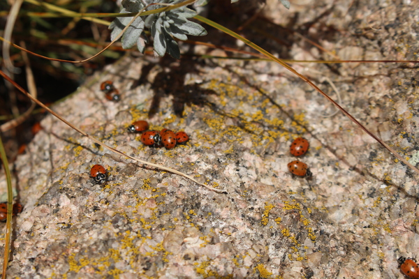
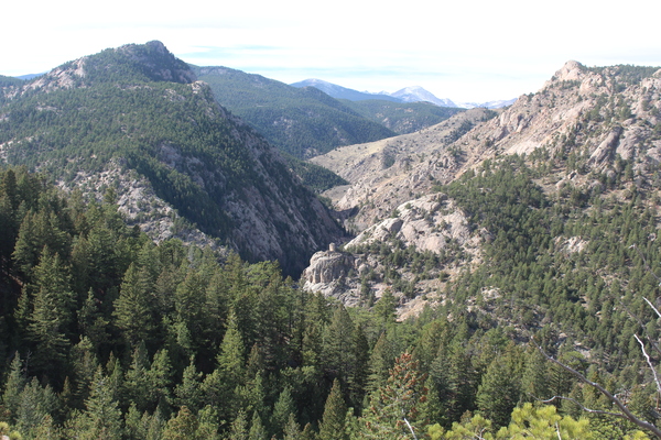
Below are more pictures of the hike.
Our video of the hike on YouTube
or alternatively at archive.org
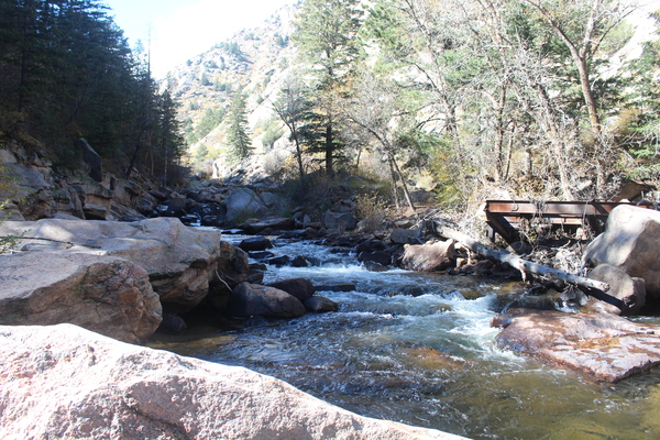
This hike was the first time we did one of our favorite loop hikes since the 2013 Colorado Front Range Flood when both bridges used for this hike were destroyed.
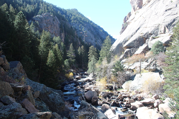
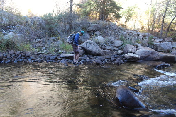
Knowing the bridges were gone, we brought our river sandals to cross it the old fashioned way. October is a good month to do this, since the North St Vrain Creek is low.
The map below shows the route we took. You can right click on the map image and open it in a new tab, then click on it to expand it for a more detailed view. Our GPS is broken, and we haven’t gotten a new one yet, so there are no GPS tracks.
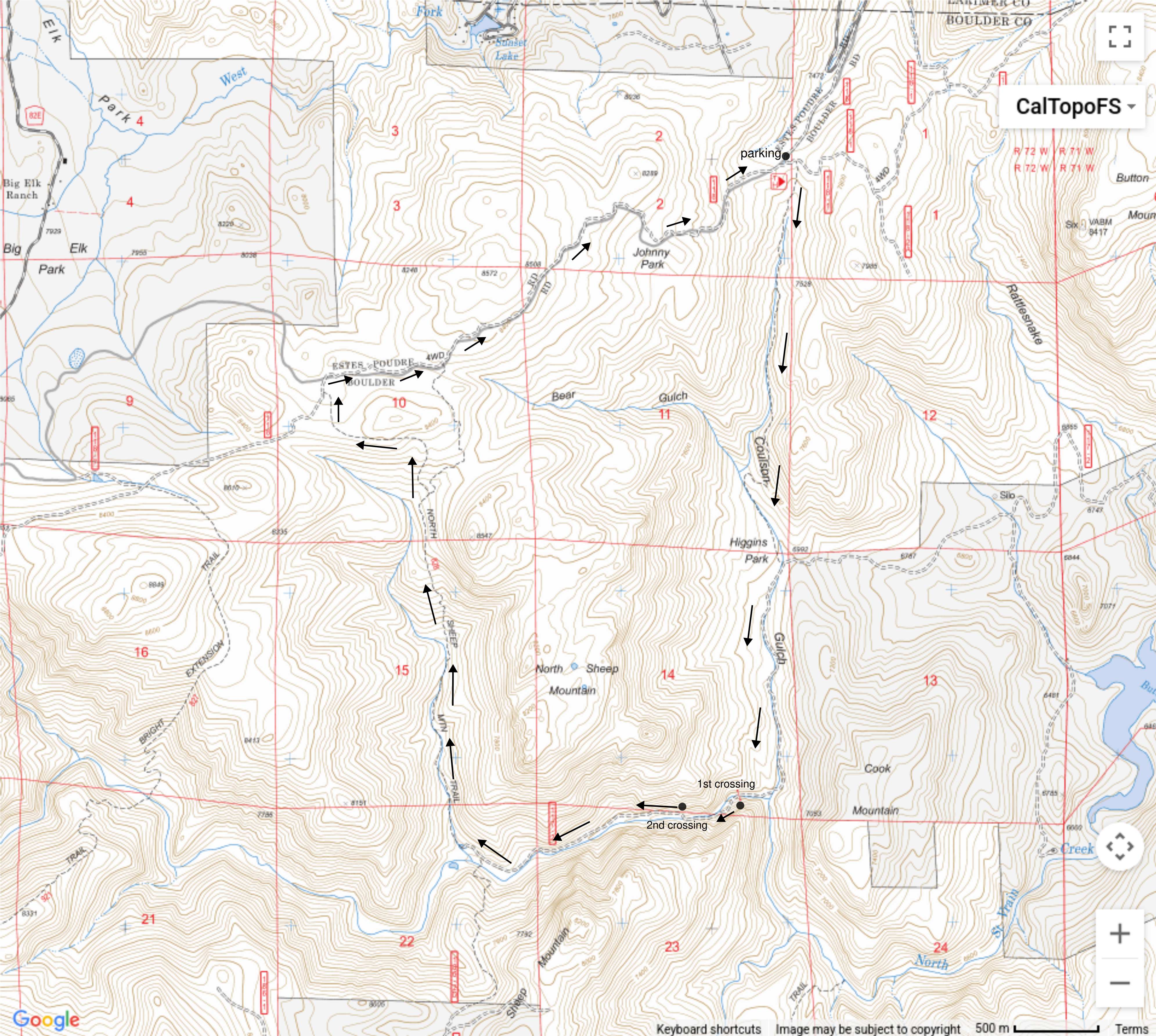
The first crossing was made a few feet downstream of where the old bridge was, the water going up to about the knees. After that, we kept our river sandals on while hiking to the second crossing. There were a few spots along the way between the two crossings that were blocked by rock slides over the old forest road. This made us resort to wading through water on the creek side.
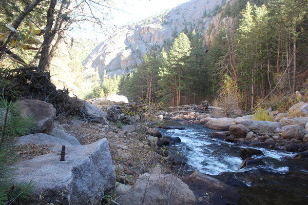
The second crossing was made about where the old bridge was. After that, the trail is mostly disappeared by grass, shrubs and rock slide from the flood. We did our best trying to follow it.
Due to rock slide, the forest road intersection with the North Sheep Mountain Trail was gone, but we soon found the trail and headed north along it. Before reaching Johnny Park Road, there is a trail junction, both of which end up on Johnny Park Road. We happened to take the left branch since it had been the longest time since we took that.
The hike took about 7 hours, with a lunch stop along Johnny Park Road. What slowed us down significantly was after the second creek crossing, during the switching from river sandals to hiking shoes, a hiking shoe of Stefan’s fell into the creek, and floated away before we could grab it. So Stefan finished the hike with a river sandal on one foot, and a hiking shoe on another. This required slower walking to reduce toe stubbing.
Pictures of the hike are below.
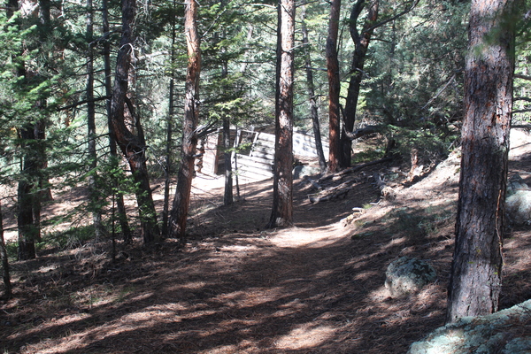
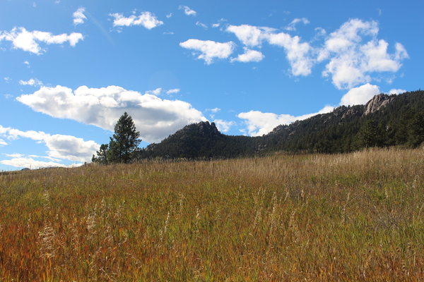
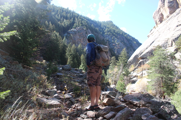
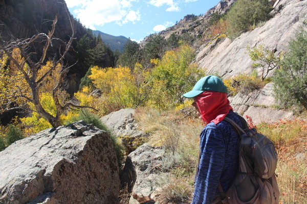
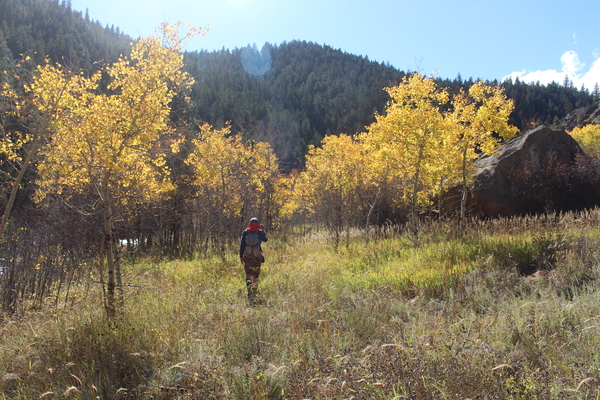
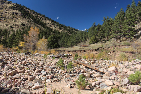

Starting from Lefthand Canyon Dr, we parked above Buckingham Park off of Lefthand Canyon Dr where it crosses over Lefthand Creek. The elevation at the parking place was 6073 feet. The eventual high point was Fairview Peak where our GPS gave an elevation of 8592 feet. So the elevation difference from low to high was 8592-6073 = 2519 feet, not counting a significant plunge into Spruce Gulch from the forest trail 286 overlook.

This hike formed a loop in a counterclockwise direction, as you can see from the GPS tracks. The GPS didn’t start tracking until the overlook above Spruce Gulch just before we plunged down into the gulch. The missing part of the GPS tracks was a continuous trail almost directly across from where we parked to the overlook, which is forest trail 286-1.

From Spruce Gulch we ascended the east ridge of Fairview Peak, which started with easy meadow walking but got more rough, rocky, and brambly as we continued up. Following the ridge, we clambered to the top of rugged knob 7880, and continued along the ridge until we finally got onto an old 4WD road on the north side of the ridge which took us in the direction of the Fairview Peak summit. We reached the summit at a time of about 3 hours from the start of the hike. As the name suggests, the views from the Fairview summit are really nice.

For our return trip, we continued on the 4WD road that we came in on, heading southwest until its intersection with forest rd 87J, then took 87J east. Note that heading east on 87J we came across numerous “No trespassing” or “Private property” signs that were pointed the other way. We also came to a gate with same signs, and then another one, and continued on forest trails 288 and 286 back to Lefthand Canyon. The total time for the hike was about 5 hours.

Our video of the hike
© 2012-2025 Stefan Hollos and Richard Hollos