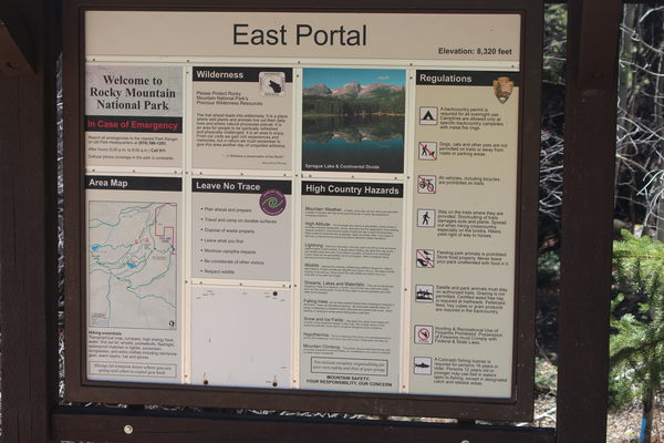
2018-08-27 Adams Tunnel East Portal Trailhead sign

2018-08-27 On Storm Pass Trail

2018-08-27 Ascending Bierstadt Lake Trail

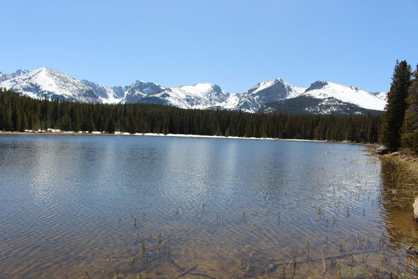
2018-08-27 Bierstadt Lake with mountains
This is about an 8.5 mile hike, with an elevation gain from low (parking) to high (top of Bierstadt moraine) of about 1300 feet. There were patches of snow along the Storm Pass Trail to the Bierstadt Lake Trail, and persistent snow around Bierstadt Lake, but our low top hiking shoes worked just fine since the snow held us up.
Starting at the Adams Tunnel East Portal, we took the Wind River Trail to the Storm Pass Trail, then took that to the Bierstadt Lake Trailhead, then hiked up that trail to Bierstadt Lake. Finally, from Bierstadt Lake, we took the trail to the shuttle bus parking area (park and ride), then across the street to the Glacier Basin Campground. Took the YMCA Trail back to the Adams Tunnel East Portal.
| Place Name | Elev [ft] | Accuracy [ft] | Position (lat,lon) |
|---|---|---|---|
| Adams Tunnel East Portal parking | 8261 | 16 | 40.32818,-105.57581 |
© 2012-2018 Stefan Hollos and Richard Hollos
Tweet

blog comments powered by Disqus