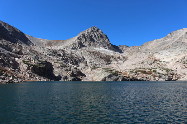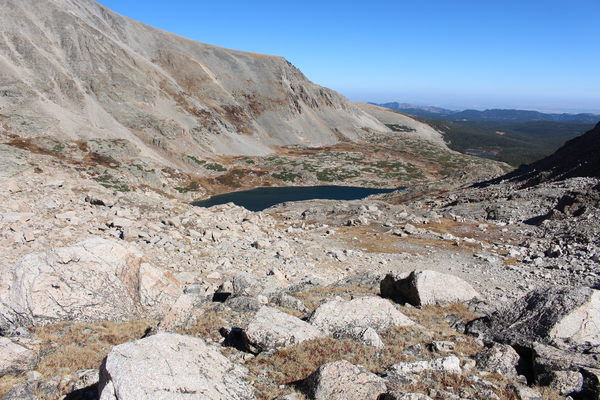
2015-10-12 Blue Lake and Mt Toll
Parking at the Mitchell Lake Trailhead, we headed up the trail to Blue Lake. Going around the north side of Blue Lake, we went southwest past a small shallow turqoise colored pond, then west, stopping at a plateau at 12100 feet, just below and southeast of the Mt Toll summit, and overlooking a small glacier terminating in a pond. In the shadows, there were already patches of ice on the granite, which Richard duly slipped on and scraped his forearms; lucky to have a longsleeve shirt on.

2015-10-12 Mt Toll from near Divide
We were tempted to - as we had done before - head up to Pawnee Peak, then down to Pawnee Pass and make a loop of it via Lake Isabelle, but with the strong wind and the lateness, didn't feel up to it, and headed back down to Blue Lake.

2015-10-12 Blue Lake from near Divide
At Blue Lake, a guy asked if we had a satellite phone, explaining that someone had twisted their ankle and needed to be rescued. On the way back we came across a young lady sitting on the trail with two companions and a dog, waiting for a rescue team. Further down, we met the rescue team, and they asked us if she was stable.
Before reaching the trailhead, we met a lady with a friendly black dog who was blind. Walking beside the dog, she would advise him of the location of rocks, but he nevertheless frequently bumped his legs on them. At the trailhead, an ambulance and several Boulder County sheriffs cars were waiting for the rescue team to return.
The distance traveled was about 5.7 miles, with an altitude gain of 12122 - 10518 = 1604 feet.
| Place Name | Elev [ft] | Accuracy [ft] | Position (lat,lon) |
|---|---|---|---|
| Mitchell Lake Trailhead parking | 10518 | 33 | 40.08308,-105.58128 |
© 2012-2015 Stefan Hollos and Richard Hollos
Tweet

blog comments powered by Disqus