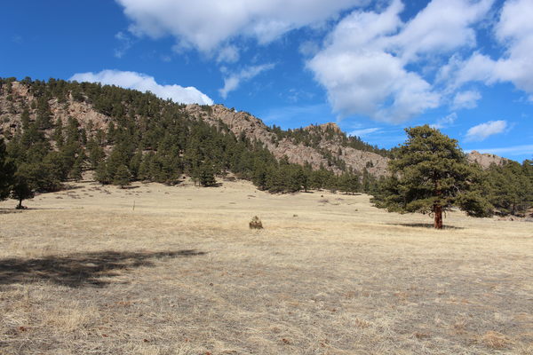
On January 22, 2021, from the Button Rock Preserve parking area we went straight up the trackless ridge heading northwest on a south facing slope. To start, the way was steep, rocky and rough, but it eventually became less steep, where we followed an old dirt road for awhile before heading into a large open meadow with a rundown cabin on it.
The view of this meadow from the south side is idyllic.

2021-01-22 Meadow, trees, mountain and sky at Button Rock Preserve
Continuing in a northwest direction, we cut across the meadow, and up a gulch, topping out at a large forested flat area at about 7700 feet. We returned in roughly the same way when the GPS batteries ran out.
This hike is only enjoyable to those who enjoy traveling through trail-less rough, rock and ponderosa country.
The parking area is at about 6000 feet, so the elevation difference from low to high was about 1700 feet. The distance traveled is unknown but from the GPS tracks an estimate is about 4 miles round trip.
Note that, based on the map of Button Rock Preserve, while this hike started at Button Rock Preserve, it also went through Roosevelt National Forest.
© 2012-2021 Stefan Hollos and Richard Hollos
Tweet

blog comments powered by Disqus