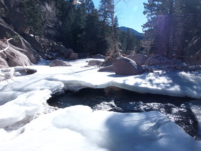
2013-12-16 Ice on North St Vrain Creek
You can see the GPS tracks for this entire hike. Ignore the noise spike at the start.
Larimer County had just opened County Road 47 a few days earlier, so we figured we'd see how Coulson Gulch and the bridge over the North St Vrain had fared through the flood.
Because of the snow, we didn't drive up the forest road, but parked near the intersection of CR 47 and FR 118.
We started hiking at 10:15, going southwest along FR 118 up to the saddle where the Coulson Gulch Trailhead is. Going down the Coulson Gulch Trail, we soon began noticing deep erosion at those places where the trail crosses over Coulson Gulch Creek. Down at Higgins Park, the road coming from Button Rock Preserve was washed out where a culvert used to be.
Past Higgins Park, heading toward North St Vrain Creek, there was a mudslide where a northeast flowing gulley descends North Sheep Mountain. There is now a deep trench at the bottom of the gulley where it meets the 4WD road that serves as the trail. Many uprooted trees and large quantities of rock and dirt have transformed this area into a rugged terrain. The transformed landscape continued down to the North St Vrain, making the hike much slower than previously.
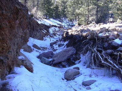
2013-12-16 Washed out gulley on North Sheep Mtn
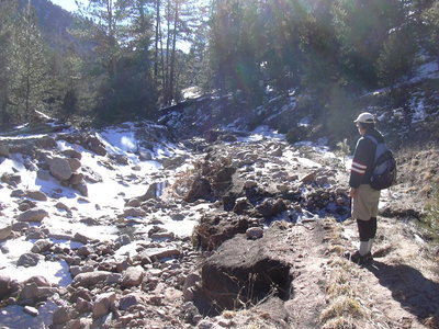
2013-12-16 Coulson Gulch flood erosion and Stefan
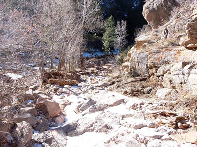
2013-12-16 Coulson Gulch Road
At the North St Vrain Creek the bridge was entirely missing. The height of the debris on the opposite bank suggests that the water level topped out well above the height of the bridge. The only sign remaining of a bridge was a short stub of cleanly broken rebar protruding from the rock.
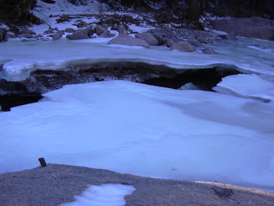
2013-12-16 Only rebar stub remaining from bridge
With no bridge to cross, we figured we'd head back the way we came. On the way back we noticed the old cabin beside the trail was none the worse. We returned at 14:15.
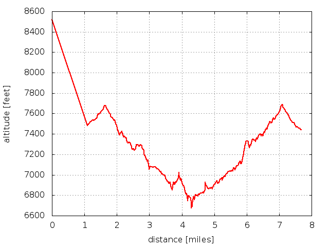
2013-12-16 Elevation profile: Coulson Gulch. Ignore noise spike
© 2012-2013 Stefan Hollos and Richard Hollos
Tweet

blog comments powered by Disqus