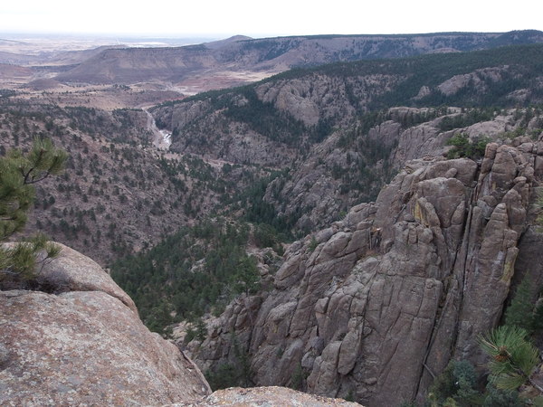
2014-12-13 Looking down Deadman Gulch from Undertaker Knob
Parking off Highway 7 at the entrance to Deadman Gulch, we hiked up the gulch following a trail that appears to have been recently improved. This trail ends on a knob about 1000 feet above the entrance to Deadman Gulch. We call this knob Undertaker Knob, being between Coffintop Mtn and Deadman Gulch. It affords a fantastic view of the entrance to Deadman Gulch, South St Vrain Canyon, South Hall Ranch, and North Heil Ranch.
From Undertaker Knob, we headed northwest, circling clockwise around Deadman Gulch, and topping out on the other side of Deadman at Point 6735. This point has a gnarly pine on the summit, and has nice views of Undertaker Knob, Coffintop Mtn, Meeker and Longs, and Button Rock Mountain.

2014-12-13 Undertaker Knob and Coffintop Mtn from Pt 6735
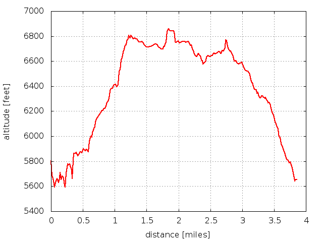
On the return, we headed southeast along the north rim of Deadman Gulch. From the parking place to the high point (Undertaker Knob) is an elevation difference of 6805-5653 = 1152 ft. Total distance traveled was about 4 miles.

2014-12-13 Elevation profile: Undertaker Knob and Pt 6735 from Deadman Gulch
| Place Name | Elev [ft] | Accuracy [ft] | Position (lat,lon) |
|---|---|---|---|
| Parking at Deadman Gulch entrance (Hwy 7) | 5653 | 23 | 40.20240,-105.32031 |
| Undertaker Knob | 6805 | 23 | 40.20468,-105.33351 |
| Point 6735 | 6785 | 20 | 40.21231,-105.32731 |
© 2012-2014 Stefan Hollos and Richard Hollos
Tweet

blog comments powered by Disqus