2018-08-10 Start of Crosier Mtn Trail in Glen Haven

2018-08-10 Start of Crosier Mtn Trail in Glen Haven

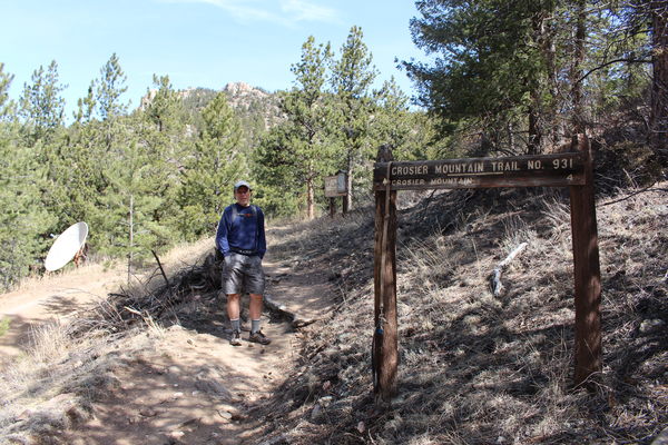
2018-08-10 Crosier Mtn Trail
It had been many years since we hiked up this mountain, which we had done from the gravel pit trailhead. This time, we figured we'd try the Glen Haven trailhead.
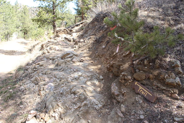
Parking across the street from the firehouse, we started on the side of the firehouse where an old wooden sign saying "Crosier Mtn" points up the hill. In a few feet, lying on the ground, the remnants of another sign saying just "Trail" indicates where the actual trail begins.
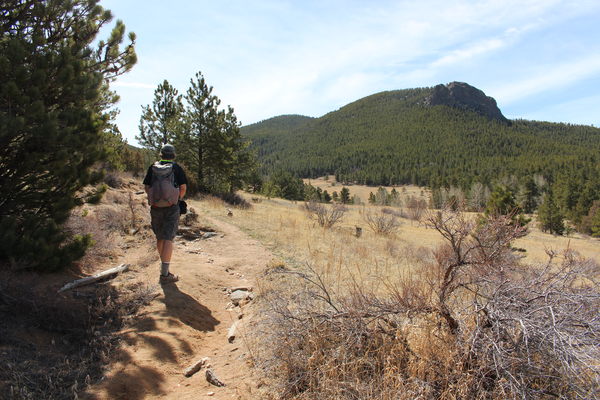
This trail is a very scenic one, with a length of 5 miles, and an elevation gain of 9264 - 7254 = 2010 feet. It took us 5 minutes shy of two hours to reach the summit at a leisurely pace. The summit view is spectacular, spanning from the Mummy Range to Meeker and Longs Peak. A little to the side of the summit, you can see Signal Mountain, Storm Mountain and Palisade Mountain.
| Place Name | Elev [ft] | Accuracy [ft] | Position (lat,lon) |
|---|---|---|---|
| Glen Haven parking | 7254 | 26 | 40.45196,-105.45042 |
| Crosier Mountain summit | 9264 | 16 | 40.43232,-105.42498 |
© 2012-2018 Stefan Hollos and Richard Hollos
Tweet

blog comments powered by Disqus