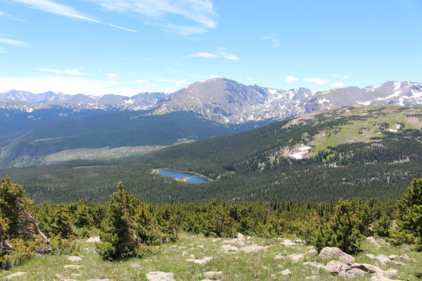
2015-07-12 Sandbeach Lake from Mt Meeker
From the Sandbeach Lake Trailhead, we started hiking at around 10:15. After about 3 miles, the trail crosses over Hunters Creek. This is where we departed the trail and turned right, heading upstream Hunters Creek with the creek to our left. There is a faint trail that we followed.
The way along Hunters Creek is lush with vegetation, and slow going with lots of fallen trees, but quite beautiful. On paralleling the creek for about 0.6 miles we came upon Lyric Falls, which you can see in the video. Continuing on, it got swampy at about 0.9 miles, which prompted us to leave the creek, and turn right, heading up the slope of Meeker Ridge.
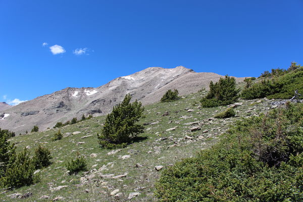
Besides the steepness, the going up Meeker Ridge was easy, with thin forest. We eventually broke out of forest and onto alpine tundra, topping out at 11763 feet. It was quite windy on the tundra, which is shown on the video, as we began our descent.

2015-07-12 Mt Meeker from Meeker Ridge
We followed Meeker Ridge down to the Meeker-Lookout Mtn saddle, then turned right, descending into the Campers Creek drainage. Eventually, we reached the Sandbeach Lake Trail near its intersection with Campers Creek. Stopping for lunch, we returned via the trail, and finished the hike at 16:58.
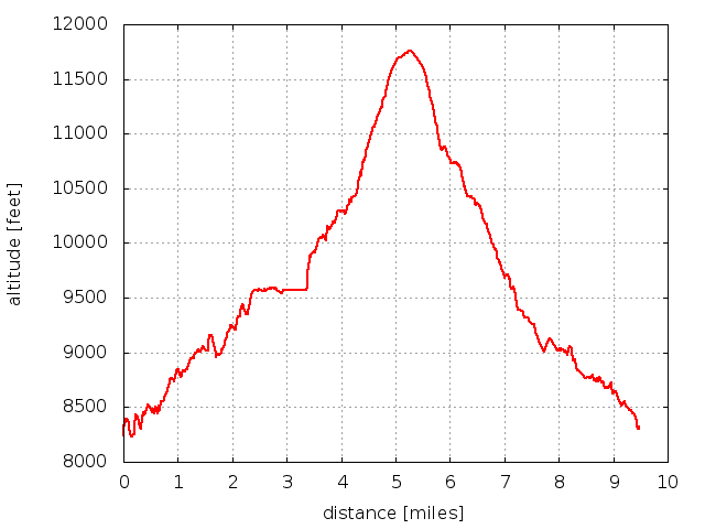
Altitude difference from lowest to highest was about 3400 feet, and the total trip time was about 6 and 3/4 hours.

2015-07-12 Elevation profile: Hunters Creek to Meeker Ridge Loop
| Place Name | Elev [ft] | Accuracy [ft] | Position (lat,lon) |
|---|---|---|---|
| Sandbeach Lake Trailhead | 8307 | 39 | 40.21984,-105.53426 |
| Lyric Falls | 10028 | 23 | 40.22285,-105.59247 |
| High point on Meeker Ridge | 11763 | 16 | 40.23404,-105.58445 |
© 2012-2015 Stefan Hollos and Richard Hollos
Tweet

blog comments powered by Disqus