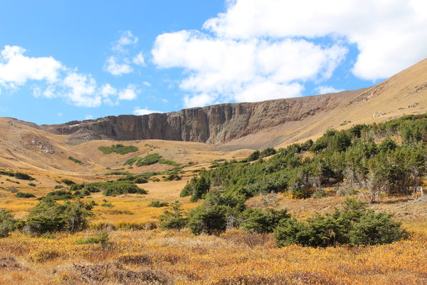
2015-09-27 Lava Cliffs from east
Driving up Fall River Road, we parked at a pulloff about 1/2 mile below where the road begins its three zig-zags just before the Chapin Pass Trailhead. Crossing over Fall River, which at this time of year is easy to do without getting feet wet, we headed west through fairly dense forest.
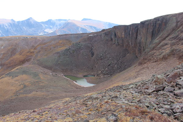
We eventually emerged into meadow, where the Lava Cliffs could be seen in the distance. Alpine tundra finally gave way to glacial till before arriving on a rock mound overlooking Iceberg Lake with its accompanying glacier and the lava cliffs overhead. The lake water is green, and most of the lake is surrounded by snow even at the end of summer. The steep slope of glacial debris on the west side of the lake shows some ice too, indicating much of the glacier could be hidden. People could be seen and heard overhead at the Lava Cliffs Overlook of Trail Ridge Road.

2015-09-27 Iceberg Lake
On returning, we ascended the ridge north of the lake (Ridge 12355), getting expansive views of the Lava Cliffs, Iceberg Lake, Trail Ridge Road, the Alpine Visitor Center, Fall River Road, and Mounts Chapin, Chiquita and Ypsilon. After topping out on a knob of the ridge, we followed its sharp edge steeply down, finally meeting Fall River, which is a small creek at that elevation, and then down the creek to the patrol cabin. Finally we hiked down Fall River Road about 1/2 mile to our parking place.

2015-09-27 Iceberg Lake

2015-09-27 Alpine Visitor Center from 12355 ridge
The elevation difference from low (parking at 10550 ft) to high (ridge knob at 12273 ft) was 1723 feet. The total trip time was about 4 hours, and distance about 4.5 miles.
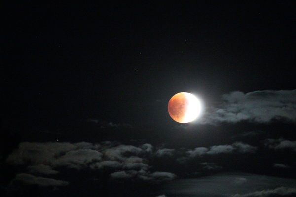
Later that evening, from Beaver Meadows, we took some pics of the full moon in eclipse.

2015-09-27 Lunar eclipse
| Place Name | Elev [ft] | Accuracy [ft] | Position (lat,lon) |
|---|---|---|---|
| Parking off Fall River Road | 10550 | 39 | 40.42885,-105.72689 |
© 2012-2015 Stefan Hollos and Richard Hollos
Tweet

blog comments powered by Disqus