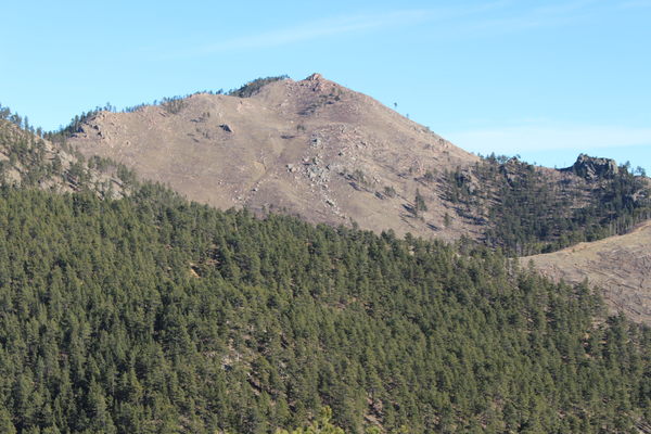
2019-12-20 Point 7201 from Lefthand OHV area
From Lefthand Canyon Drive, at a pulloff shortly before the intersection with James Canyon Drive, we hiked a 4.7 mile loop through the Lefthand OHV Area.
Up the hillside, about 100 feet from the parking place, we started on an old miners trail, turning right. The area is a rat's nest of trails. Most of the hike was on trails, while some was trackless.

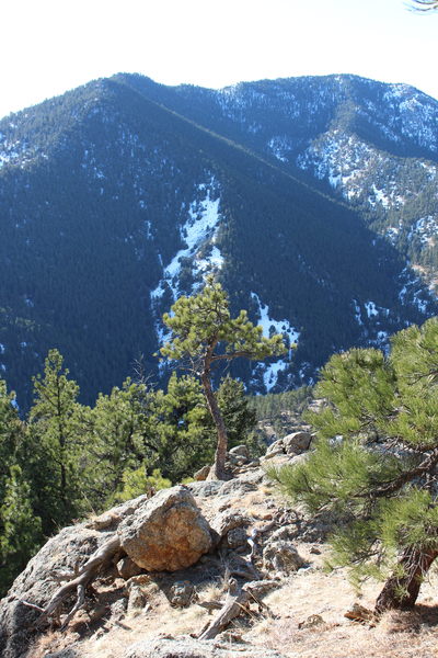
2019-12-20 View south from trail in Lefthand OHV area
This is a wonderful winter hiking area, with a plethora of old trails and forest roads. Since the 2013 flood, it's been closed to ATVs, Jeeps and shooters.

2019-12-20 Golden Age Hill from trail in Lefthand OHV area
Elevation change from low to high was about 1700 feet, starting at 6300 feet and topping out at 8000 feet.

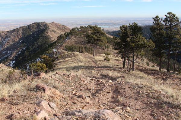
2019-12-20 View east from trail in Lefthand OHV area
© 2012-2019 Stefan Hollos and Richard Hollos
Tweet

blog comments powered by Disqus