The Lumpy Ridge parking lot is fairly empty. Are we early or is everyone at the Bolder Boulder? The temperature is perfect, nice and cool. We start heading west on the Black Canyon Trail.

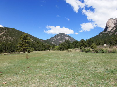
2014-05-26 McGregor Mtn from Black Canyon Trail
Looks like a lot of recent rain. Trail is muddy in only one spot. This spot also has monstrous cow patties.
We pass a large group of people. The men have shaved heads and long beards. A cult or a fashion statement? Who knows, who cares?
Not far from the Lumpy/Dark Mtn saddle the trail crosses a large washout from the flood. It starts high up on Lumpy Ridge.
We reach the saddle and stop to note the elevation. A couple on the other side of middle age come up the other side. We exchange hellos. Richard tries to start a conversation. It doesn't work. They breeze on by.
Heading down the other side we meet some backpackers coming up. They saw a moose yesterday. Cow Creek is a good place for a moose.

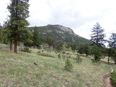
2014-05-26 Sheep Mtn from Cow Creek Trail
There are interesting birds along the creek. Some are hard to identify.
After turning off to Gem Lake we cross a large washout coming down from Sheep Mountain. Incredible devastation. The bridge over Cow Creek was recently rebuilt.
Gem Lake was crowded. We didn't stop. It started to rain on the way down. I heard a woman ask another what a privy was.
We end up eating lunch near the parking lot.
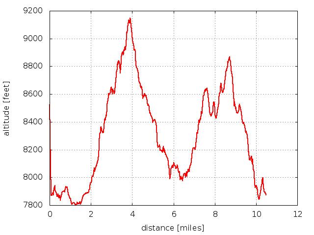
Total hike time 4 hours, 40 minutes. Trailhead map shows our loop was 10.8 miles long. Minimum altitude 7805 ft, maximum altitude 9147 ft.

2014-05-26 Elevation profile: Lumpy Ridge Loop
| Place Name | Elev [ft] | Accuracy [ft] | Position (lat,lon) |
|---|---|---|---|
| Lumpy Ridge parking area | 7876 | 16 | 40.39648,-105.51255 |
| High point on Dark Mtn - Lumpy Ridge saddle | 9135 | 20 | 40.42243,-105.56127 |
© 2012-2014 Stefan Hollos and Richard Hollos
Tweet

blog comments powered by Disqus