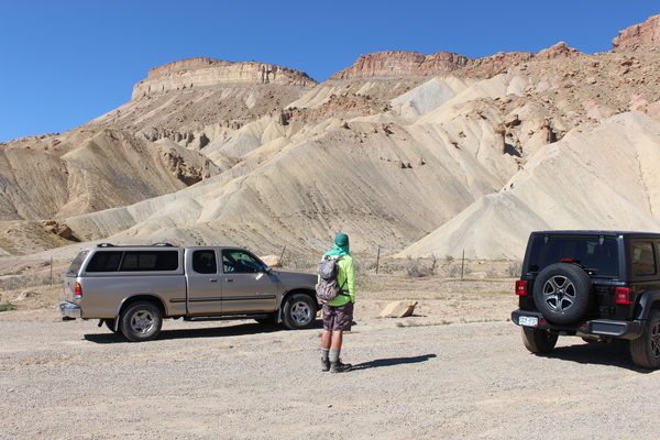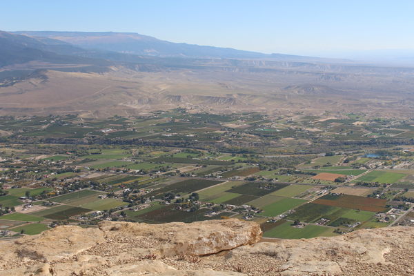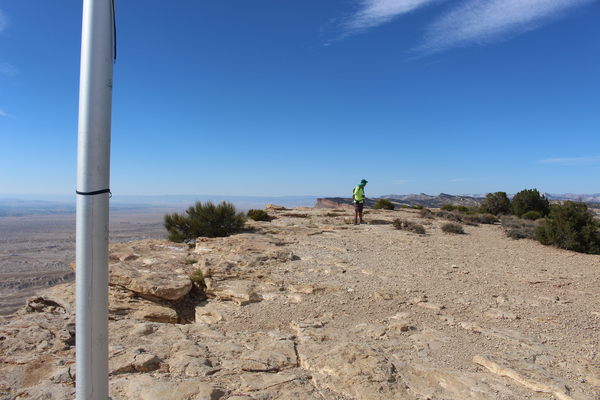
2022-10-13 Stefan at Mount Garfield trailhead parking area
The video shows glimpses of our climb from the trailhead to the summit.
Mount Garfield is on the edge of town at Palisade, Colorado. It's separated from the town by Interstate 70. A narrow one vehicle wide tunnel below I-70 provides access from town. Even at a dry time of year when we visited, there was a significant amount of water (maybe 6 inches) on the north side of the tunnel.

2022-10-13 Sign at Mount Garfield Trailhead

2022-10-13 First ascent point on Mount Garfield trail
We hiked up Mount Garfield from the main trailhead. Ascent was mostly standard route, but for approaching the summit from the northeast after the saddle just below the summit plateau.

2022-10-13 On first plateau of Mount Garfield trail
Descent was an alternate route beginning at the saddle, and bypassing the trail under the rock wall. This alternate route begins as a faint trail that leaves the main one near the saddle, and goes behind the knob whose south face is the rock wall at whose base the main trail goes.

2022-10-13 Looking down on second plateau of Mount Garfield trail
An advantage of this alternate route is no exposure to falling rock below the crumbly wall. The alternate route meets up with the main trail again at the second plateau.

2022-10-13 Stefan at saddle of Mount Garfield trail
The features of the main trail are first a steep ascent on bare dirt and rock, then two grassy plateaus, then a walk along the base of a rock wall, then a saddle, followed by a scramble to the summit plateau.

2022-10-13 Palisade from Mount Garfield summit
The elevation change from trailhead to summit was 1,960 feet. The distance from trailhead to summit is about 2 miles.

2022-10-13 Stefan on Mount Garfield summit
© 2012-2022 Stefan Hollos and Richard Hollos
Tweet

blog comments powered by Disqus