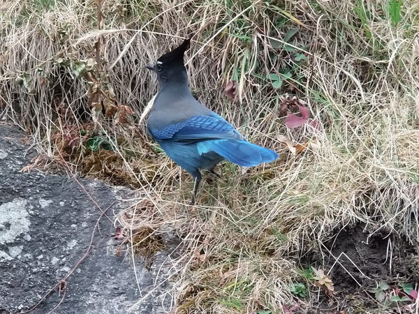
From the ranger station at Wild Basin, we headed to Ouzel Falls. At the falls, we met a Steller's Jay. He had apparently spent the summer acquiring snacks from tourists, as he lingered in close proximity in hopes of alms.

2014-11-01 Steller's jay at Ouzel Falls
We did not cross Ouzel Creek, but departed the trail, ascending parallel to it with the creek to our right. This was the beginning of a gradual ascent of the ridge that leads to Pear Lake and the east ridge of Copeland Mountain. After initially going through the 1978 burn area, the rest of the way to the meadow near treeline was through fairly dense forest.
The going was very slow, and only enjoyable for someone who likes bushwacking. There was a thin layer of snow in places, where we would see occasional rabbit and chickaree tracks. There were a few places where the trees became very large in diameter, and one such area was covered with a seemingly immeasurable depth of thousands of years of chickaree cone debris. There were almost no bird sounds as we ascended, but nearing the meadow below treeline, we began hearing chickadees.

2014-11-01 Copeland Meadow
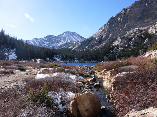
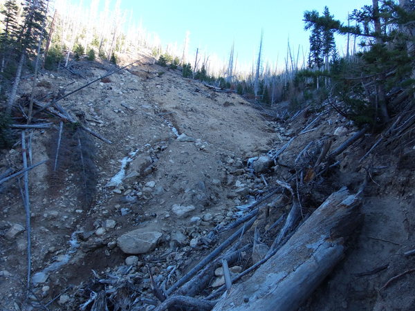
At the treeline meadow near 11,000 feet, we debated whether to descend the ridge to eventually return to the Ouzel Falls Trail, or to head south to Pear Lake. We decided on Pear Lake, and once reaching that, returned via the Finch-Pear Lakes Trail. At Finch Lake, we saw a couple beavers swimming, which you can see in the video. At the next intersection we turned left to Calypso Cascades. Before reaching it, where the trail crosses a small stream, there was a landslide from the flood of September 2013. The landslide originated a short distance uphill from the trail, and took some of the trail with it.

2014-11-01 Pear Lake

2014-11-01 Landslide over Calypso Cascades Trail
Start/stop time: 10:05/17:58 Total trip time: 7 hrs, 53 mins Total distance traveled: 12.1 miles Altitude low/high: 8512/11013 feet Altitude diff low/high: about 2500 feet

2014-10-04 Elevation profile: Ouzel Falls - Pear Lake Loop
| Place Name | Elev [ft] | Accuracy [ft] | Position (lat,lon) |
|---|---|---|---|
| Wild Basin Ranger Station parking | 8517 | 23 | 40.20787,-105.56684 |
© 2012-2014 Stefan Hollos and Richard Hollos
Tweet

blog comments powered by Disqus