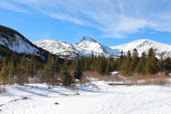
2016-01-03 Sawtooth Mtn from Coney Flats
The forest service gate into Peaceful Valley Campground is closed in winter, so we parked near the intersection of the campground road and the Peak to Peak Highway.
Skiing west on the campground road, we turned left onto a trail, leaving the road, just before the bridge into the campground. This trail ends up at the start of the Middle St Vrain 4WD Road just west of Camp Dick. But we didn't take it that far, instead turning left at the second trail intersection, that heads to Beaver Reservoir. On the north end of Beaver Reservoir, the trail intersects the 4WD road going to Coney Flats. This road is very nice for skiing, since it's closed to vehicles in the winter.

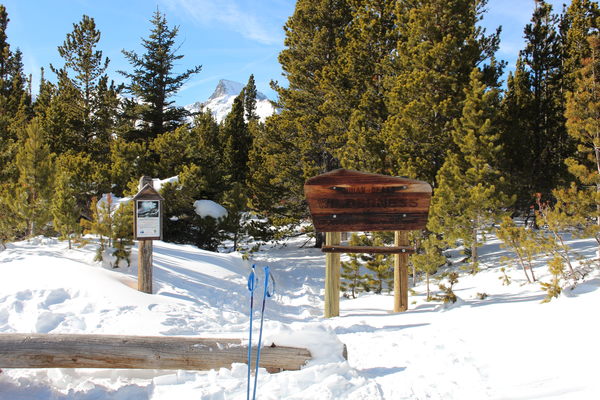
2016-01-03 Indian Peaks Wilderness sign at Coney Flats
At Coney Flats, we got the best views of the trip. With Sawtooth Mtn, Red Deer Mountain, and Coney Island all wrapped in their winter attire. There is a sign there marking the start of the Indian Peaks Wilderness, as well as a trailhead sign.
At the trailhead sign, the 4WD road turns north. In the winter, the snow cover can make it difficult to follow this part of the road since it's not as well traveled. Today there were enough tracks to make it easy.
The road descends, ending up at the Middle St Vrain 4WD Road. Heading east on the Middle St Vrain 4WD Road, we experienced the funnest part of the loop, with several stretches of perfect downhill cross country skiing. Just before the end of the 4WD road, we turned right onto the trail that bypasses Camp Dick and completes the loop.
The total distance traveled for this trip was about 11 miles, which took about 4 1/2 half hours. The low point in altitude, about 8500 feet, was near the parking place, and the high point, at Coney Flats, was about 9800 feet, making for a low to high difference of about 1300 feet.
You can see the GPS Tracks. Ignore the bunch of straight line segments near the start. They are noise.
© 2012-2016 Stefan Hollos and Richard Hollos
Tweet

blog comments powered by Disqus