2014-08-16 Stefan on Signal Mtn Trail
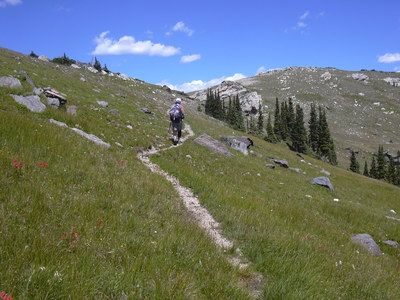
Started hiking at 10:12 from the parking area for the Bulwark Ridge and North Fork trails. The sign at the parking area says that both trails are closed, but someone had scratched out "Bulwark Ridge" from this sign, and in hiking up the gravel road to its trailhead, found the trail was open.
It was seriously hot, and we sweat profusely, but the hike was quite pleasant otherwise, with chickadees singing much of the way, and only meeting two people the entire hike.

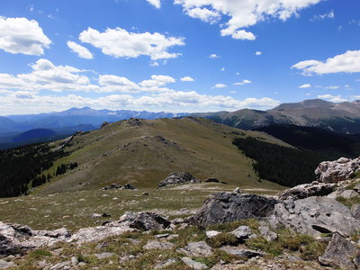
2014-08-16 South Signal Mtn from North Signal Mtn
Reaching the summit of North Signal Mtn at about 13:00, we found its register was placed there earlier in the day by Pat Rastall, who arrived via Pingree Park. Luckily, thunderstorms couldn't muster enthusiasm today, so we took our time on the North and South Signal Mtn summit areas before heading back. We returned at 17:20.
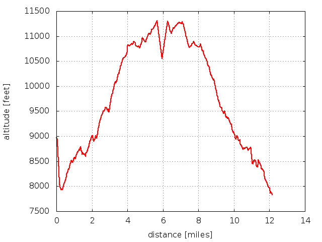
Elevation difference: 11306 - 7828 = 3,478 ft Distance traveled: 12.2 miles Time to summit: 2 hrs, 48 mins Total time: about 7 hrs

2014-08-16 Elevation profile: North and South Signal Mtns via Bulwark Ridge
| Place Name | Elev [ft] | Accuracy [ft] | Position (lat,lon) |
|---|---|---|---|
| Parking at North Fork Trailhead | 7828 | 16 | 40.47570,-105.46071 |
| North Signal Mtn summit | 11306 | 16 | 40.52563,-105.51166 |
© 2012-2014 Stefan Hollos and Richard Hollos
Tweet

blog comments powered by Disqus