On December 2, 2021, parking off Lefthand Canyon Drive we hiked a loop (clockwise) along National Forest roads and trails which included a descent to Spruce Gulch. For part of the way, the GPS wasn't tracking, so we drew in that part with the GPS tracks.
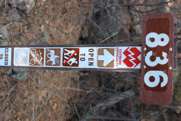
The descent from the high point off Lefthand Canyon to Spruce Gulch was via Forest Service Trail 836. Its trail marker near the high point warned of "Extreme Difficulty".

2021-12-02 Forest Service Trail 836 sign warning extreme difficulty above Spruce Gulch

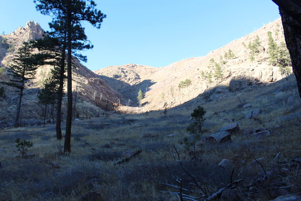
2021-12-02 Spruce Gulch

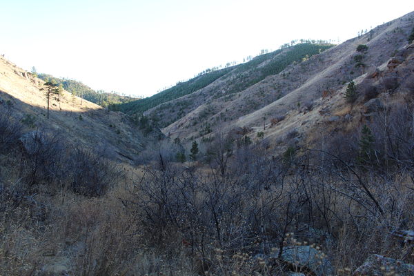
2021-12-02 Looking down Spruce Gulch
The total elevation gain was about 1,938 feet. The first segment of ascent was 1,588 feet from Lefthand Canyon Drive to the high point via forest roads. The second segment of ascent was 350 feet from Spruce Gulch back up to the rim of Lefthand Canyon.
© 2012-2021 Stefan Hollos and Richard Hollos
Tweet

blog comments powered by Disqus