Starting at Hollowell Park, we hiked west on the Hollowell Park Trail, taking a video of Mill Creek along the way, until the summit of Steep Mtn was to our northeast.
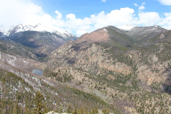
We then departed the trail, heading north, then northeast, ascending the west ridge of Steep Mountain. On the west ridge there is an overlook with an expansive view that includes Cub Lake, Stones Peak, Fern Lake Road and Trail, the Ute Trail, Tombstone Ridge and Beaver Mountain.
From the overlook, we headed west along the Iron Dike to the summit.

2015-05-02 Cub Lake and Stones Peak
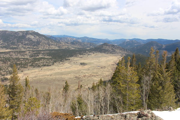
Just before the summit there's a comprehensive view of Moraine Park. You can even see the old meanders showing how the Big Thompson has altered its course over time.

2015-05-02 Moraine Park from Steep Mtn.
The Steep Mtn summit is marked by a pile of rock and a limber pine, offering some views but not as good as other points on the west ridge.
On our descent, we headed east then north, reaching the south lateral moraine of Moraine Park. Standing on the top of this moraine and looking down either side gives one a sense of how massive the glacier that filled Moraine Park was. Along the moraine we went east, descending to about 8550 ft, before returning to Hollowell Park. We would have traveled further east along the moraine, but the weather was not looking good, and it started raining as we reached the car.
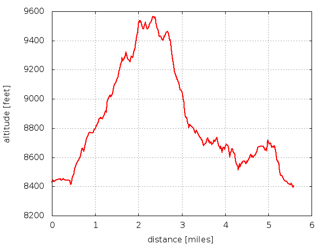
The entire hike, including a lunch break, lasted about 5 hours, with an elevation difference from low (8400 ft) to high (9500 ft) of about 1100 feet, and a distance traveled of 5.6 miles. The rough terrain made it slow going on the descent from Steep Mtn, and on the top of the moraine.

2015-05-02 Elevation profile: Steep Mtn from Hollowell Park
| Place Name | Elev [ft] | Accuracy [ft] | Position (lat,lon) |
|---|---|---|---|
| Overlook on Steep Mtn | 9537 | 20 | 40.34379,-105.62823 |
| Steep Mtn summit | 9570 | 20 | 40.34288,-105.62401 |
© 2012-2015 Stefan Hollos and Richard Hollos
Tweet

blog comments powered by Disqus