On this hike we experienced quite an array of conditions: a warm autumn day at Beaver Meadows, midwinter cold and snow on Tombstone Ridge, and a people packed urban environment at Hidden Valley and Hwy 34.

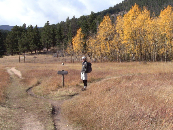
2014-10-11 Stefan at Beaver Meadows
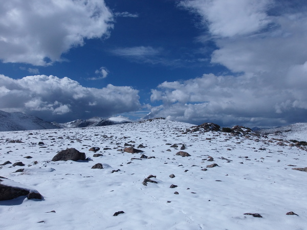
Parking at Upper Beaver Meadows, we crossed Beaver Brook taking the trail that connects to the Ute Trail. We took the Ute Trail to Tombstone Ridge, then departed the trail heading north, down the other side of the ridge. It was quite blustery on Tombstone Ridge with snow showers and a high wind. There were a couple inches of snow on the ground at this point, with more in drifts. Below, we could see the cars going by on Trail Ridge Road, near where the upper ski slopes of Hidden Valley intersect the road.

2014-10-11 Tombstone Ridge
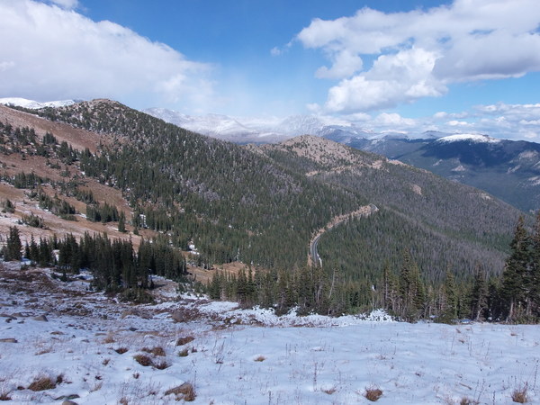
By the time we got to Trail Ridge Road, the snow was gone, and we crossed the road, descending along the grassy ski slope to Hidden Valley.

2014-10-11 Trail Ridge Road from Tombstone Ridge
Exiting Hidden Valley along the road, we first hiked parallel to Hwy 34, keeping it to our left, then when the forest got too thick, crossed the road and hiked along the other side. We came across remnants of an earlier road and were glad to hike along that, which kept our distance from the heavy traffic, but only for a short while. Continuing parallel to the road, on its north side, we alternated between hiking along a moraine, and being on the side of the road. Finally, after passing Point 9543, we crossed highway 34, heading south along an old dirt road. When this road disappeared, we passed by a rock knob, then headed south to Beaver Meadows.
Start/stop time: 10:40/17:30 Approx low/high point: 8430 feet (Beaver Meadows)/ 11650 (Tombstone Ridge) Approx elevation different from low to high: (- 11650 8430) = 3220
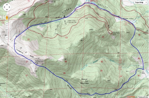
I forgot the GPS on this hike, but below is a hand drawn approximation of the route.

2014-10-11 Hand drawn route for Ute Trail - Hidden Valley Loop
© 2012-2014 Stefan Hollos and Richard Hollos
Tweet

blog comments powered by Disqus